Goodrich Rock Trail | 11/24/23
- Izzy Risitano
- Nov 25, 2023
- 2 min read

Shoulder season is the ideal time to work on “flat-ish” sections of the trail with the family. Making use of our bonus shared day off, we embarked on a medley of WVAIA trails and got our first fix of winter with 2 inches of crunchy snow.
Beginning from the Livermore TH, we slid across the icy parking lot and early section of the Livermore trail before turning left on the unpacked Greely Ponds trail. Though the trail was not icy, the not-quite-snowshoe and not-quite-micro spike surface was very loud and crunchy. My mom called it dry cereal sounds, which was rather accurate. Despite this, the relatively flat and wide trail was pretty digestible despite the awkward conditions.
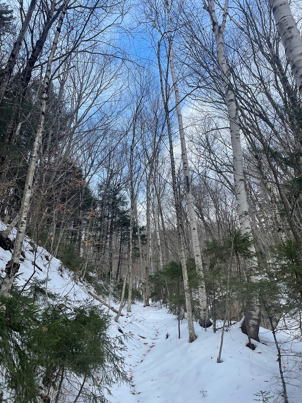
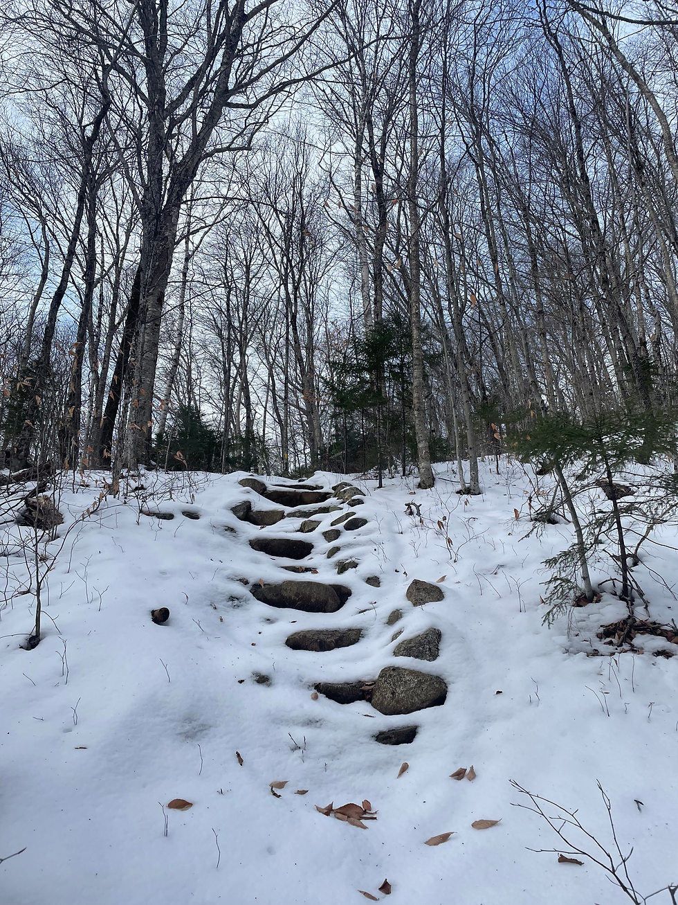
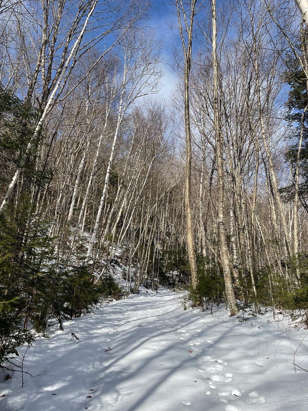
1.53 miles into the Livermore + Greeley walk, we turned left up the Goodrich Rock Trail. The trail is steepest at its beginning as it rises above the valley carved by the Mad River. Even so, the ascent wasn’t bad, and soon ascended towards a gentler birch glade, followed by a sea of maples with a few sections of rock steps. By the time we reached the David Boulders, we were just over the 2-mile mark and the sun got brighter overhead.
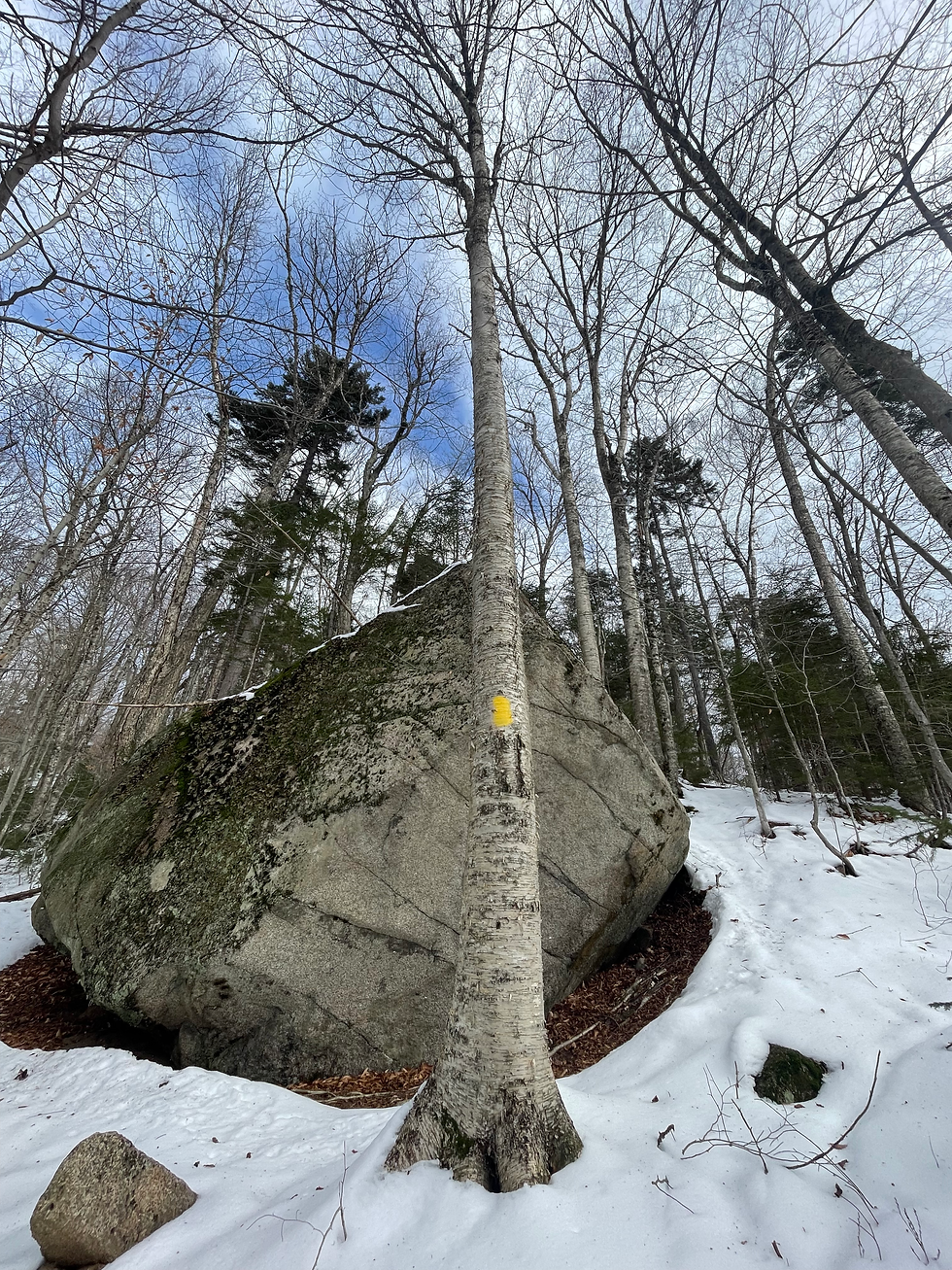
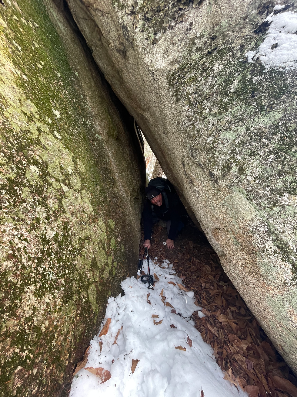
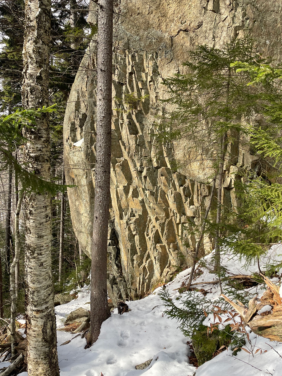
The Davis Boulder section was fascinating- first, we walked through a narrow passageway, then through the cave (bypass at right), then strategically scaled over some creatively placed rocks. I took great amusement in my parent’s reactions, as I’d intentionally given them no advanced notice of this unique section of trail.

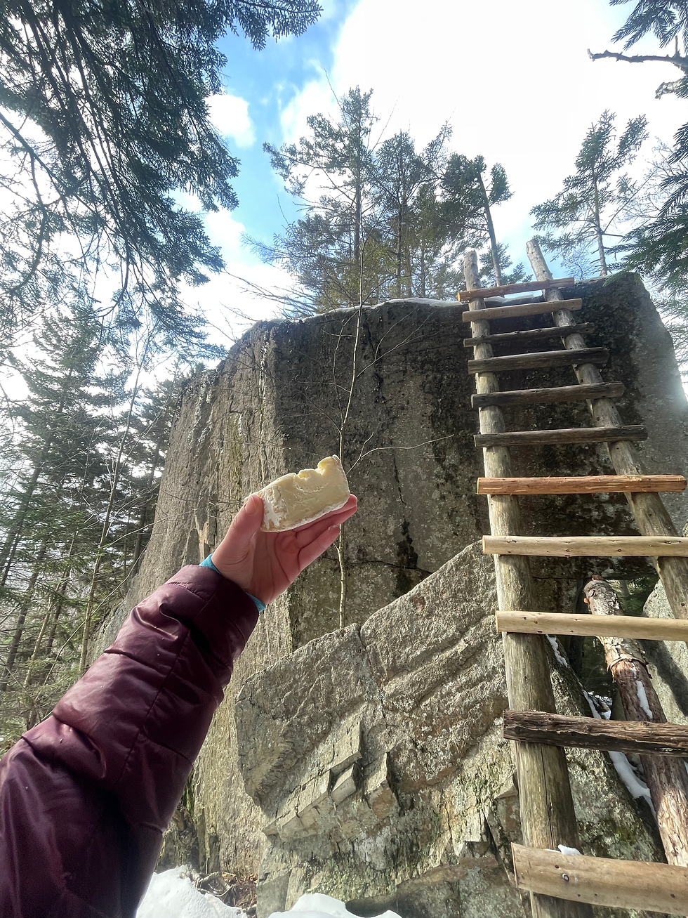
The final stretch before Goodrich Rock eased in elevation, then had one last push as we curved left and then up towards the Goodrich Rock ladder, newly adjusted with a couple of new rungs. Despite the new snow, only the first rung was slippery so I still got a nice peer at the view from the top of the ladder. After taking turns testing the “terrifying” ladder, we enjoyed some Thanksgiving leftovers at the base while analyzing the surrounding bear tracks.
On our way back to the Greeley Pond Trail, we passed a couple of other hiking parties and found the snow was far easier to walk now- not only because it had been broken out, but also because it had softened drastically in the now fully-exposed afternoon sun.
Back at Greeley, we moved to continue towards the ponds, unsure if time would allow for it. As the day went on, the real feel continued to drop as a crazy cold front came in, and boy did we feel it as we hit the height of land. This section of trail was nearly untouched, except for two lightly-footed trail runners ahead of us. Ultimately, we moved to turn around at the junction with the Kancamangus Brook Ski Trail due to the increasing winds & approaching darkening hours. I wasn’t too devastated by a tracing standpoint since I have to return for Timber Camp anyhow, but I did want to see those ponds!
All in all, I think that it was a great time of year to cover this ground. Goodrich Rock certainly lived up to the expectation, and is a new go-to recommendation for beginniner hikers!
Stats:
7.29 miles
1,197 elevation


Comments