Wonalancet Range, Walden, Oliverian Brook, Square Ledge & Old Mast | 5/16/24
- Izzy Risitano
- May 17, 2024
- 3 min read
Something odd happens every time I hike from Ferncroft. Once a rescue, an awkward date I didn’t realize was a date in high school, and another a sprained ankle. Today, it was drinking snow melt as a means of hydration.
Having just returned home from a busy semester of college, I was craving a long, relatively “pointless,” solo hike. Somewhere in between pages of my 27-page Geographic Information Systems research project, I had drawn a route on Gaia to nab almost every trail I had left in that area of Sandwich- up Old Mast, around the big Oliverian Brook rectangle, over Walden, and down Wonalancet Range trail. There wouldn’t be a single unobstructed view or known attraction. But it was just the solitude I wanted.

Upon my arrival, I headed in the opposite direction of the masses and went up Old Mast, which parallels the similar Kelley Trail I did en route to South Paugus two years ago. The trail is a straightforward two miles, with good footing and nothing of mass significance. At the top, there is an interesting boulder field, but no scrambles to go with it.

From here, I chose to go straight down Square Ledge Trail, which was in incredible condition. I cruised through the most delightful smelling woods and surprisingly saw no trace of animals through the likes of sounds or scat. At the end, I retraced the familiar Square Ledge Branch Trail until Oliverian Brook Trail (funny enough, I met the lovely trail adopters today at work) where I bore right to complete the section I hadn’t been on before. This section was rather fast, which was completely unexpected when I drew out this route and expected a blown-down land of desertion.


Once I got back to the Lawrence Trail, the difficulty increased substantially. As the Walden trail began, I was immediately out of breath. The guidebook’s regard of Walden being rough and laying claim to several of the steepest pitches in the Sandwich Range was one that kept playing through my head as I ascended the sudden climb to an unnamed knob, again climbing Wonalancet Hedgehog, and then most significantly as I completed my most time-consuming spur yet up Nanamocomuck Peak.


Climbing the knob was just tiring, Wonalancet Hedgehog was technical, slippery, and rough, and then Nanamocomuck Peak was just something else. Despite the part of the Walden Trail I had left being quite short- it took me an hour and a half to out and back because not only was it relentlessly steep, but the ledges required delicacy in my movement. I don’t usually take sit-down breaks when I hike solo, but on more than one occasion I was stopped in my tracks up this pitch. Coming down, of course, was better on the lungs but still cautious. If nothing else, it was delightful to know I had already seen the worst of it!

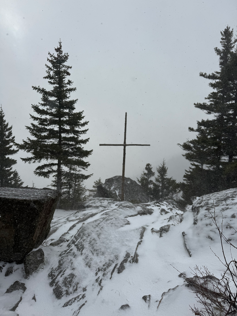
After completing the terrain both ways, the col where I expected water was completely dry. This led me to melt and treat snow for water instead- not something I thought I’d be doing in May! Thankfully it got me through just fine, but it isn't necessarily something I'd do intentionally again.

After that wild out-and-back, which made me wonder why I was tracing, I enjoyed a beautiful rolling ridge until the summit of Mount Wonalancet. The ridge afforded a few small outlooks, giving an interesting perspective of Square Ledge’s rich orange and red coloring from afar. Having last gotten a view of the Ledge while the leaves were also that color, it was far more noticeable in the green than the warm-toned foliage.

After reaching the summit of Wonalancet, I descended more steeply over a few low-angle ledges until reconnecting with the shortcut, which I sluggishly out and backed. The trail didn’t seem to get much use, based on the untouched quality of the leaves. Descending the Wonalancet Range Trail was similar and slow due to the dry and plentiful leaves. There were a few boulder fields, similar to those at the top of Old Mast Road, but otherwise, the trail was as expected.

Once I got back to the bridge junction, I dunked in the stream and filtered another Nalgene for the car. I missed that part of summer hiking and of course, the ability to do 12 miles without going into darkness.
All-in-all the route was 11.9 miles with 3,827 feet of gain. A bit ironic considering I was never higher than 3,376 and started at 1,135. Cheers to the beginning of the season!


Comments