Tremont, Owl's Cliff, Sawyer Pond & Green's Cliff | 8/17/25
- Izzy Risitano
- Aug 18, 2025
- 5 min read

Each season seems to hold consistent themes for my hiking adventures. Last summer followed blue and white blazes, while 2025 has been a summer of long days on 52 With a Views. It’s also involved short nights, as I’ve found myself writing this at 4:30 am after being woken up by flirty owls at Sawyer Pond.
On Saturday morning, Liz and I got an early start to beat the heat of our 20-mile backpacking loop. We began with a challenging ascent up Mt. Tremont, by gaining 2500 feet in 2.8 miles. This was admittedly rather difficult with an overnight pack, but I imagine nowhere near the burden of hour 20-something on the Jigger Johnson 100 taking place at that very moment.
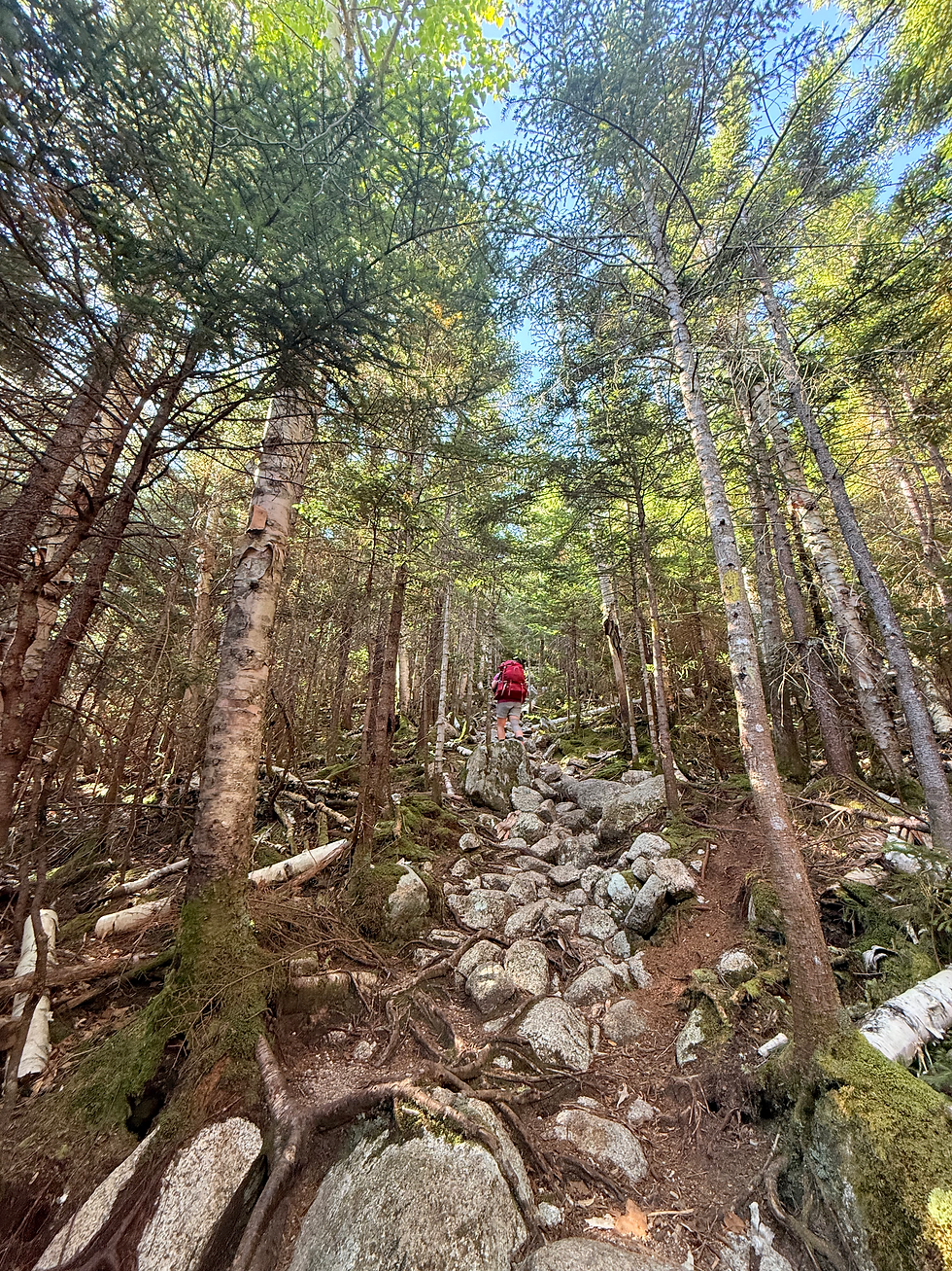
Mount Tremont trail starts lightly and ascends gradually along a brook for about a mile before ramping up elevation along steep dirt footpaths. We treaded cautiously on the ascent to save legs for the day ahead, taking breaks more frequently than usual. Initially, we’d expected to pull over for runners more frequently, but only saw Ben Chisholm on Tremont, who was in 2nd place at the time.
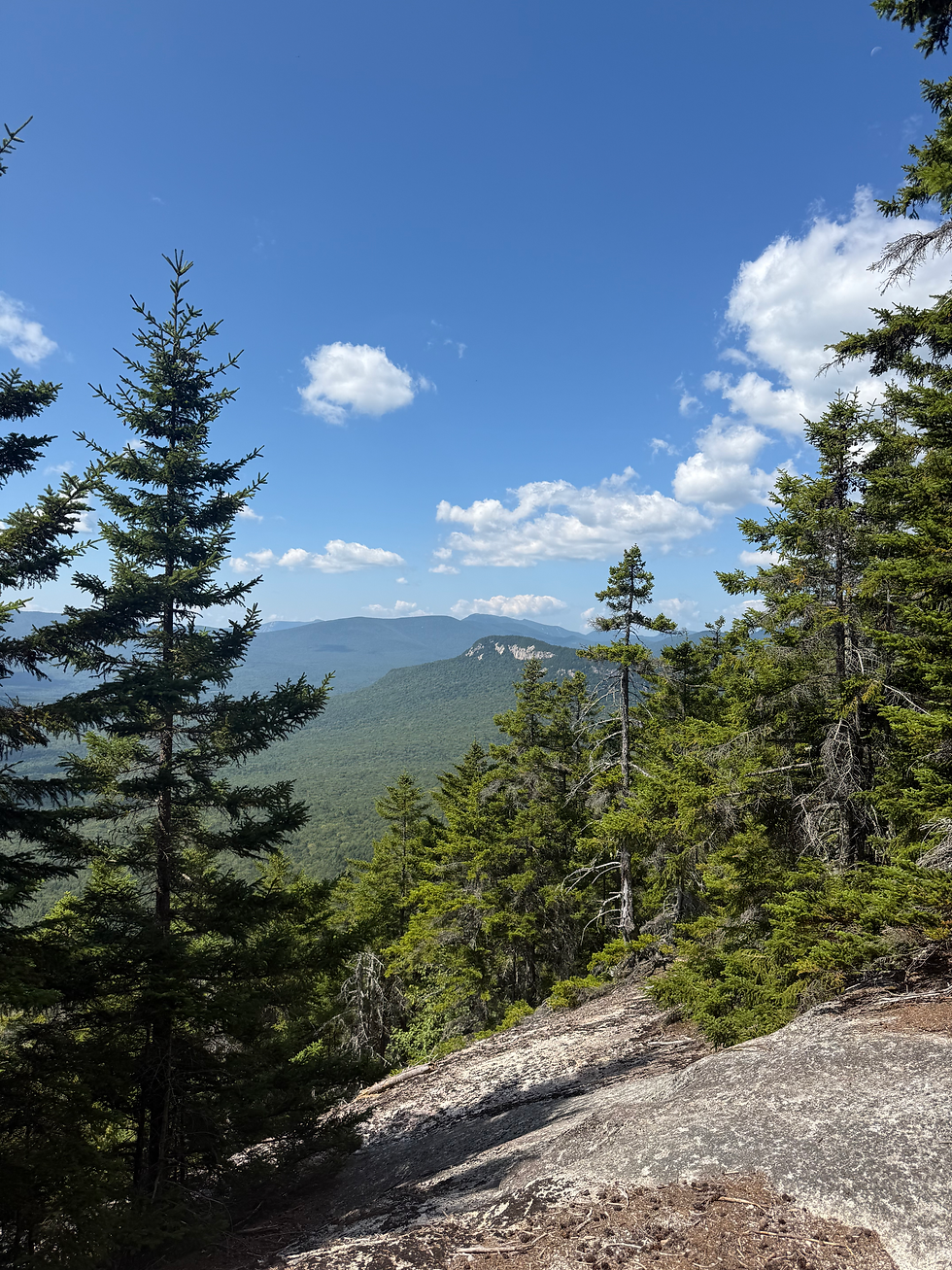
In the last 0.4 miles of Tremont, the orange and red cliff bands thankfully included 19 switchbacks to ease erosion. Upon seeing the backside of the mountain, it is undeniable that this trail feature was necessary for Tremont’s popularity as a list peak.
As we came around switchback #19, there was a herd path to the right and the summit marker at left. I checked out the views on the right first, opening up to Carrigan, the Captain, and the Hancocks. Usually, my weeks fly by, but it was hard to believe I was atop Carrigan 7 days ago. Moreover, the sweeping cliffs of Carrigan and her sister peaks led me to ponder the geological formation of the south-Pemigewasset high peaks. Like any group of mountains through the White Mountains, this area is so unique. Yet, this one packs it all in from deep notches to sheer cliffs. Another differentiator in making the Pemigewasset first on my wilderness ranks.
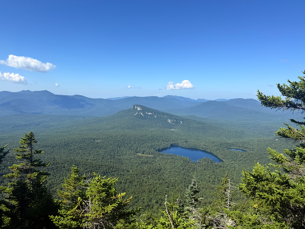
Views from the exact summit were fantastic as well. I picked out the rest of our journey- easily eyeing Sawyer Pond and Green's Cliff. To the south, I had a clear line to each ridge up the Tripyramids. I say it all the time, but only tracing could lead me to easily read Downes, Sabbaday, the Fool Killer, and Pine Bend from left to right so easily. And of course, for bonus, Waterville Valley was an easy sight- I'd hate/one day hope to be a Jigger Johnson runner, realizing I needed to get over there!
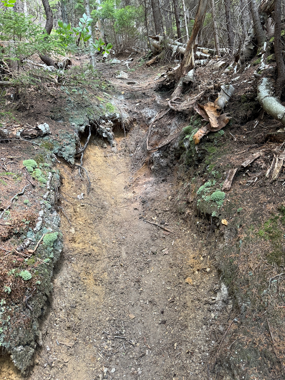
As we left our most notable view of the trip, we descended a handful of dirt chutes to the Owl's Cliff Col. Unlike the switchbacks of Mt. Tremont Trail, Brunel spares no mercy for people who detest loose sand and didn't make a single turn while dropping 600 feet all at once. As we dropped into the col, we immediately sprang back up and had a telling look back at Tremont; it was like looking up at the Empire State Building from the street.
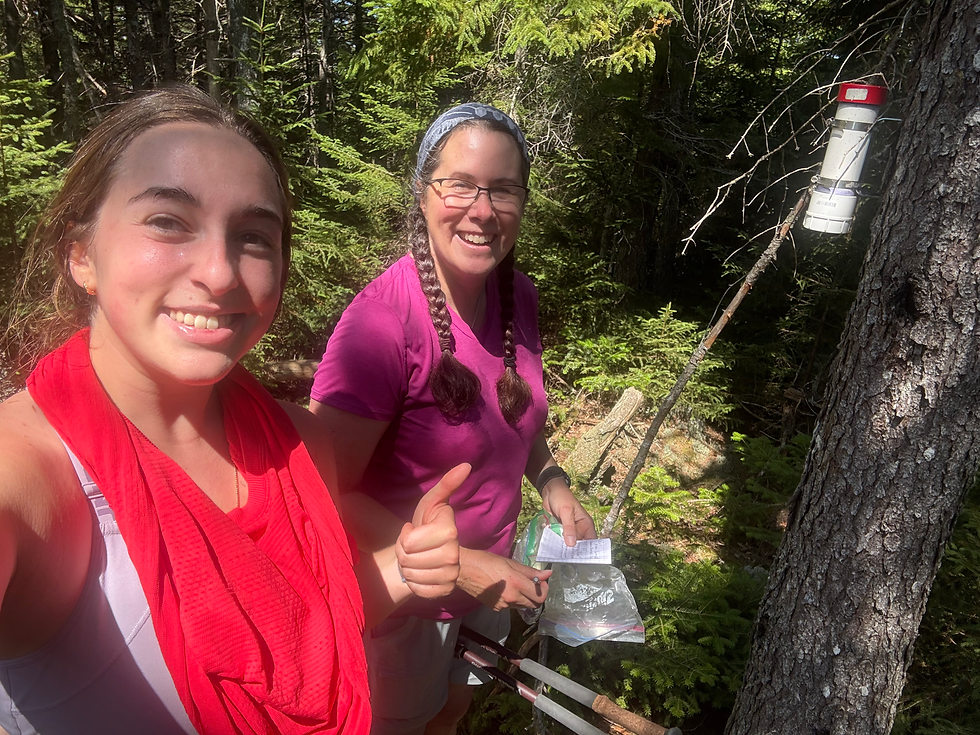
Thankfully, the 0.2-mile spur path up Owl's Cliff was in much better shape. The views weren't quite as good as Tremont's, but we still had a good line of sight to Green's. Because the summit does not directly go over Owl's Cliff peak (500 highest), Liz and I bushwhacked a few feet to the canister, reading many familiar names, before our long-earned descent.
As the afternoon sun grew stronger, our water supply got thinner and thinner. Well into our descent towards Sawyer Pond Trail, we found a viable water source and packed plenty for the rest of the afternoon. Soon thereafter, we turned onto FR45 (still Brunel) and ran into Ben Niebla, who was currently in third place for the 100-miler. His Garmin had died on the way to the Sawyer Aid Station, which Liz and I couldn't recall being Sawyer River or Sawyer Pond. Unfortunately, we couldn't be much help to Ben with directions since we hadn't saved the map. I was happy to see he still pulled off third even with the hours-long setback!
The rest of the afternoon struck the disappointing realization that we still needed to ascend for Sawyer Pond. Other than the shoulder of Birch Hill, the ascent was gradual despite still being irritating with the heavy pack. I typically don't mind the weight, but after a summer of wearing a vest, it wasn't an easy transition for me.
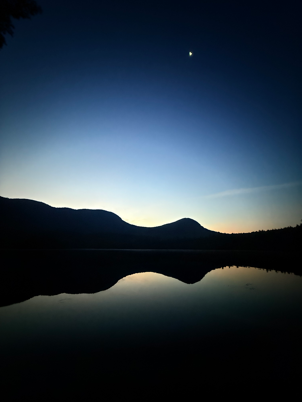
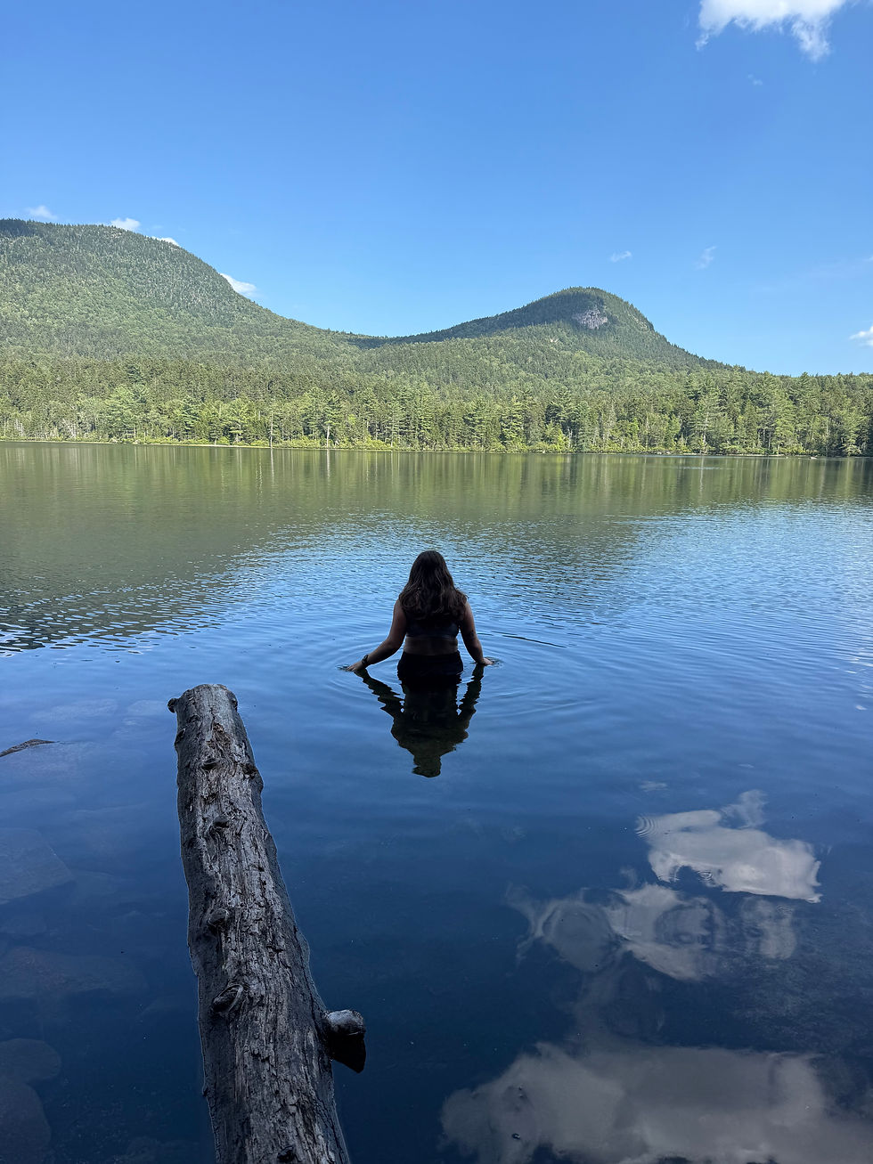
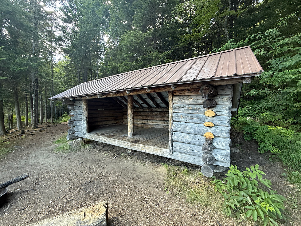
As grades began to ease, we arrived at Sawyer Pond to just 2 other parties and a nice sense of privacy. I wandered around camp to grab the shelter spur, then Liz and I took a dip in Sawyer Pond. Sawyer was perhaps the loveliest pond I've ever swam in, so I'd prefer not to know if there are leeches in there. There were lots of other critters, though!
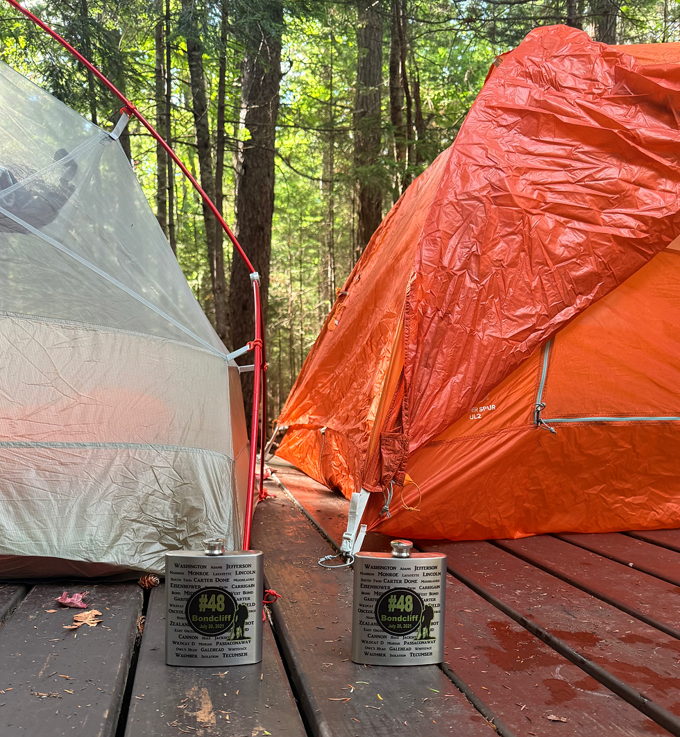
After the dip, we set up camp and had some sleepy juice from our matching flasks. That being said, I was asleep before the sun set.
That takes me to where I was when I began writing this post, waking up before sunrise to the chatty owls. Since this was the first time I've ever gotten ready before Liz, I went to get the bear bag and was completely shaken by the sound of heavy breathing and water slapping. As it turns out, a certain beaver was trying to intimidate me (it worked) quite literally until the sun rose. If you don't follow me on Instagram, you should because I even got it on video, and the sound is crazy!
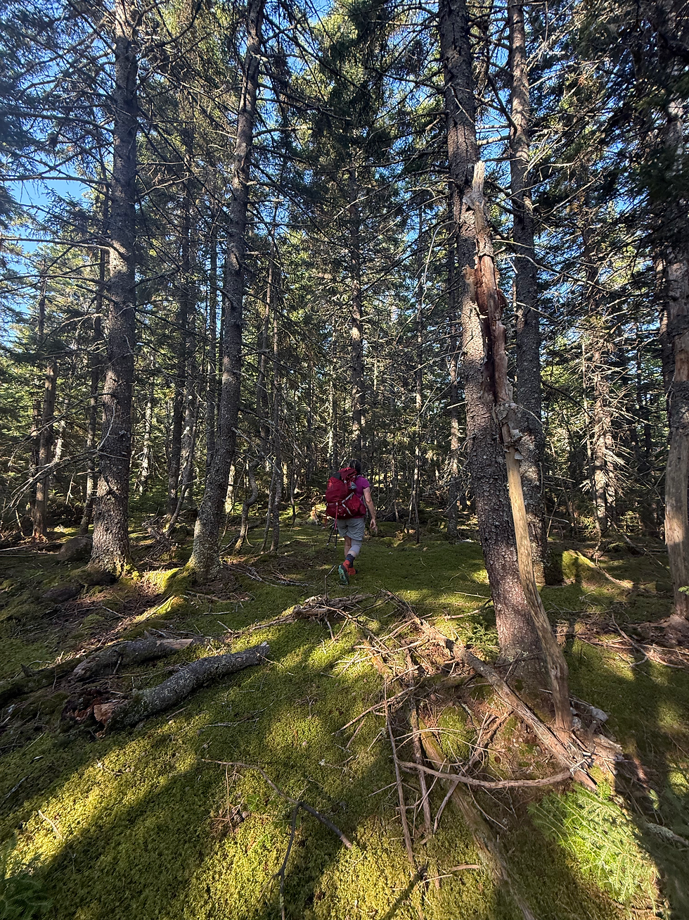
Since we were up so early, we left camp around 6 am and briefly hiked Sawyer Pond Trail to the start of the Green's Cliff bushwhack. The bushwhack roughly followed an old climber's trail that was, for the most part, OK to follow. Constant blowdowns and unturned leaves were commonplace, but that was nothing compared to the relentless humidity during the ascent. As we crested the high cliffs, we eventually left the path for a truly tree-stabbing bushwhack that pulled out my hair the entire 0.4-mile walk. At the very top, we attempted to rest near the canister, but I was promptly attacked by wasps and decided I didn't deserve rest.
After descending much faster than we rose, we had a long road walk ahead of us down Sawyer River Road and then another mile on 302. The highlight was visiting the abandoned town of Livermore, which is truly hidden in plain sight. It was a swell way to break up the monotony of the late afternoon.
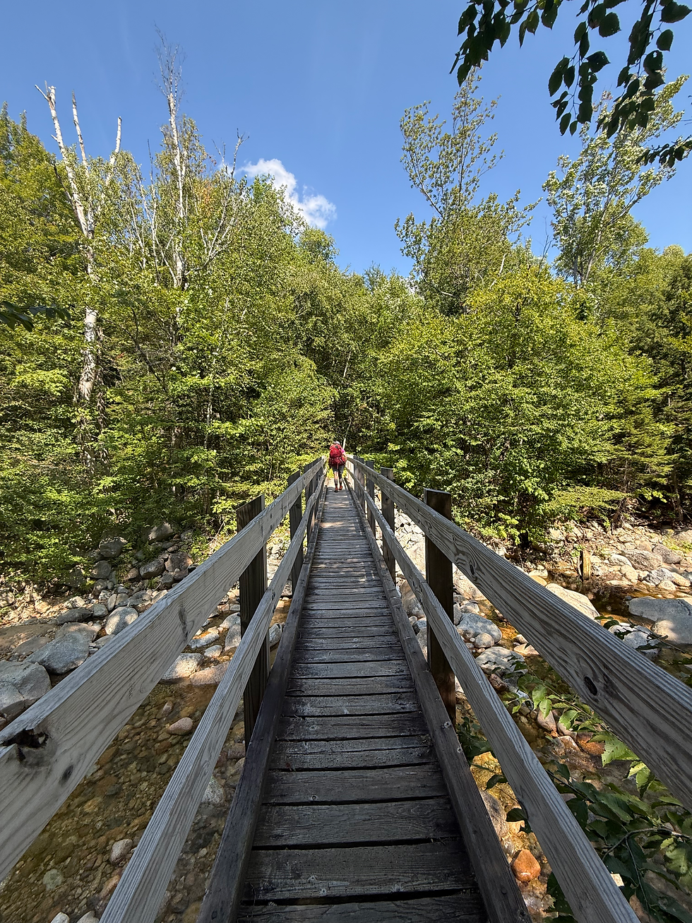
As we met the end of our walk, we diverted some folks from walking 5.5 miles to Sawyer Pond with towels and flip flops, then went for a dip ourselves. After the river bath, we made two highly necessary stops at Willey House and Yaya's for proper cuisine.
Like many of these trips, this backpacking trip was good for my soul and goals! I truly wished I were sleeping in a tent again on Sunday night, as it was tough to return to work on Monday. However, someone has to pay for this website's domain, and it doesn't seem to be Google Ads.
Final Stats: 20.23 miles, 4857 gain


Comments