Al Merrill Loop | 12/1/23
- Izzy Risitano
- Dec 4, 2023
- 3 min read

Further closing the gap on the Moosilauke tab, Liz & I finally got to explore the Al Merrill trail on the east side of Moosilauke. The trail is named for Al Merrill, Dartmouth ski coach from 1956 to 1972 and Olympic Nordic ski coach. This said, the gentle switchbacks and wide path of his namesake trail were unsurprising and appreciated.
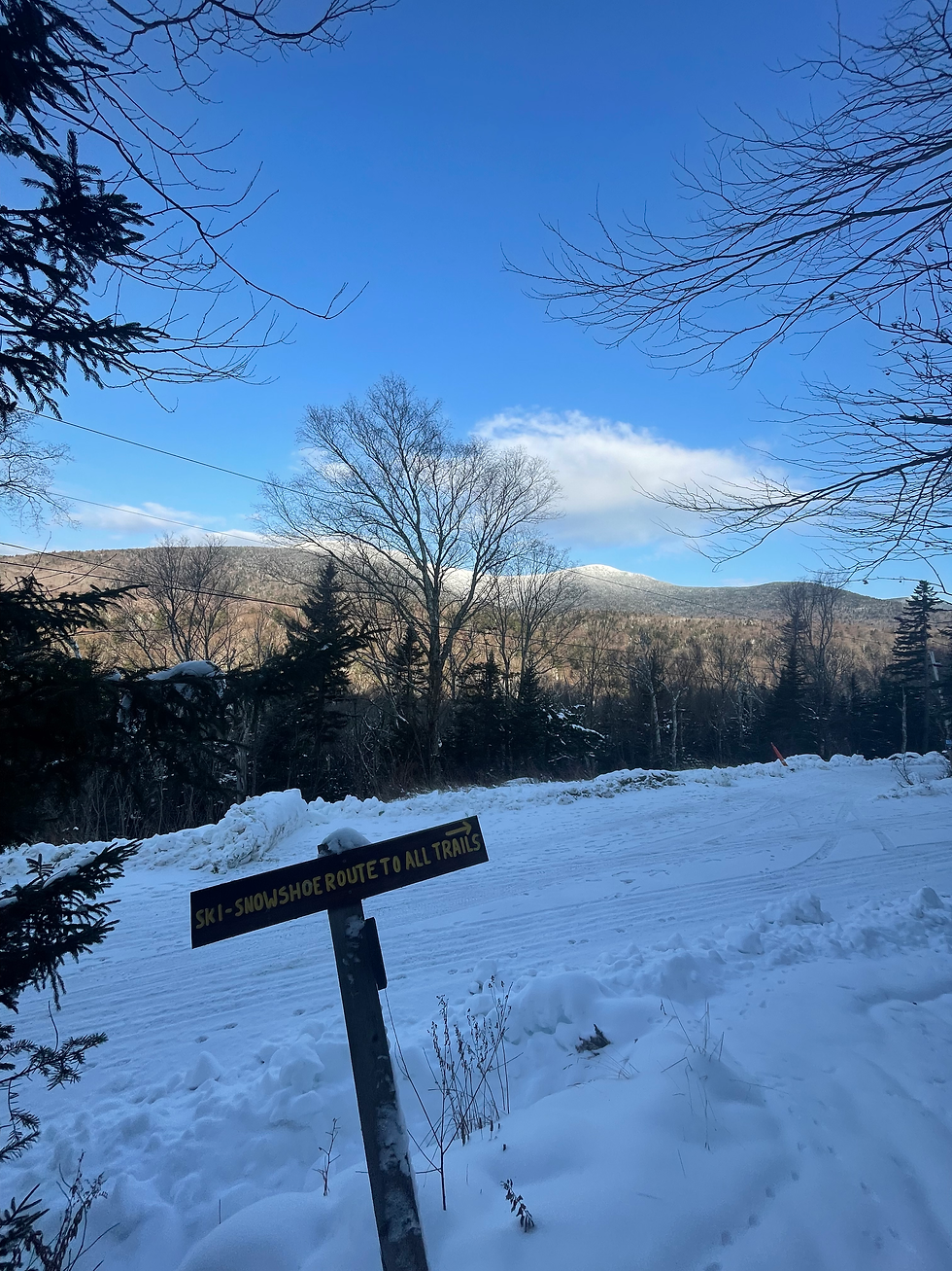
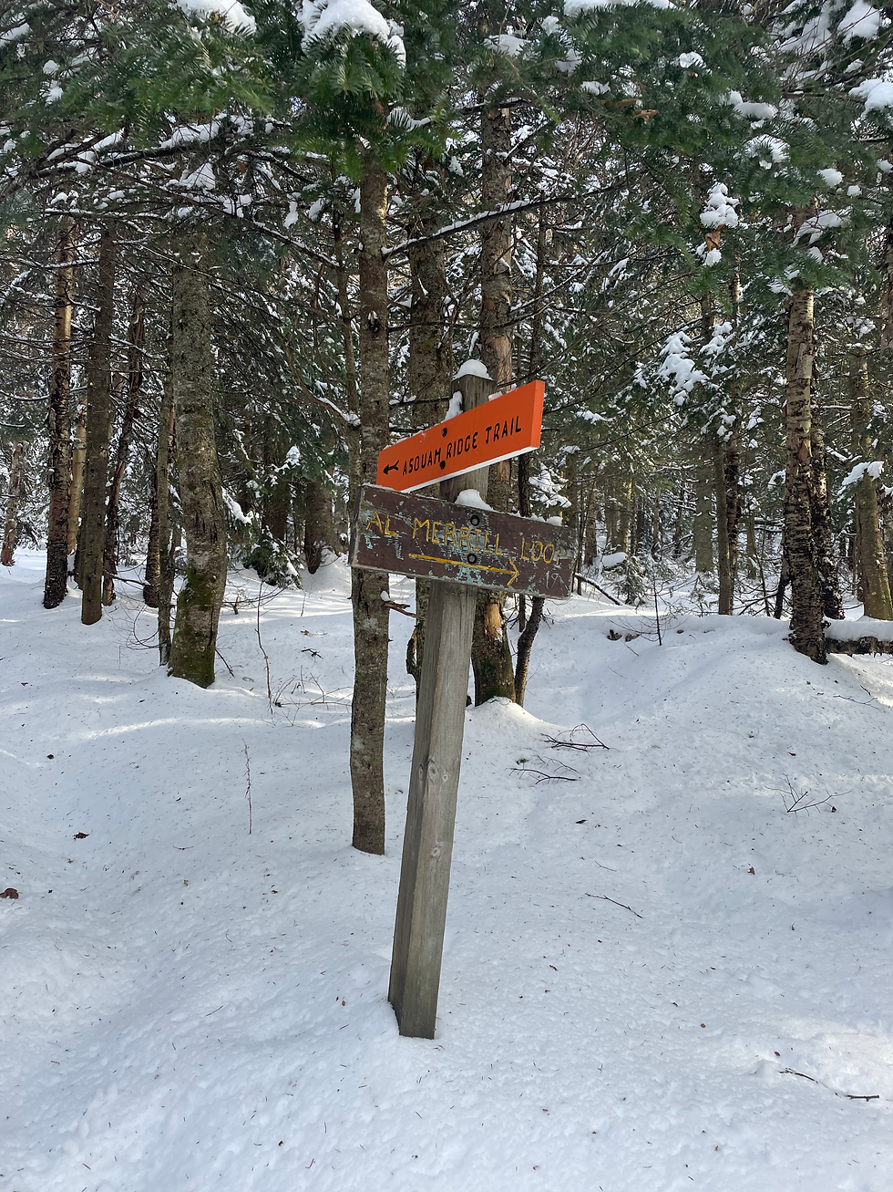
The final 0.9 miles of Ravine Road before the lodge have since been closed for winter, but it is still nicely packed (and icey) from Dartmouth Outing Club vehicles that are still in and out of the premises. On the way in, we took the "Ski-Snowshoe Route" which was regrettable as the snow wasn't deep enough to be soft, yet still overgrown enough to be a bother. Nonetheless, this stretch was brief and we soon arrived at the lodge and kept straight towards Asquam Ridge.
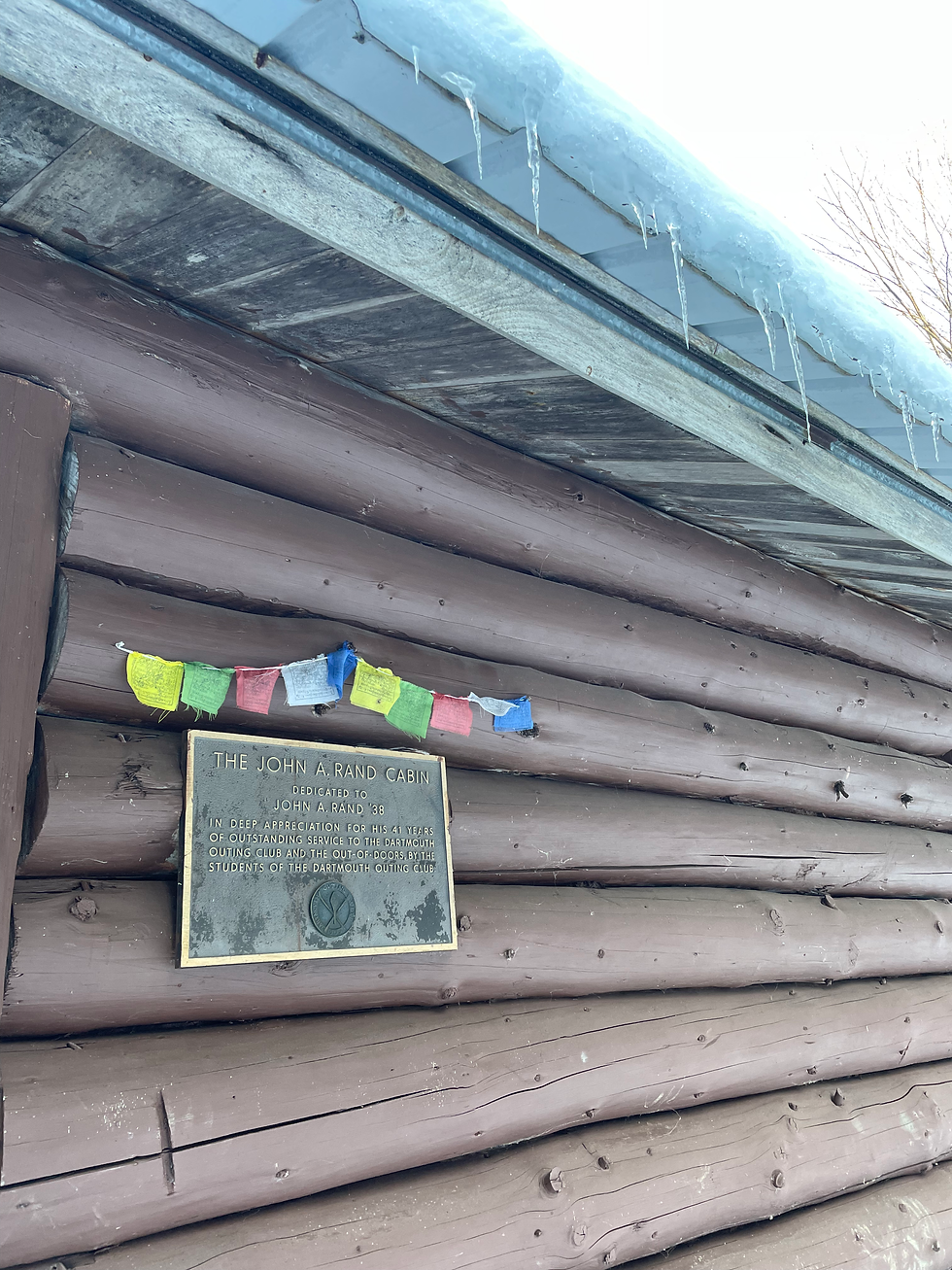
Soon, we arrived at the fork and kept right for Al Merrill. Though there was at first a footpath to follow, it ended at the breathtaking John A. Rand Cabin. The cabin itself had a privy, ample front porch, and what appeared to be a well-outfitted interior through the windows. Liz and I were greeted with a stunning image, of the cabin- even completed with a morning-moon.
As we continued through Al Merrill, the snow only got deeper. Throughout most of the trail, we followed moose tracks so large they almost appeared human. Nevertheless, the wide stride and hooves gave away the culprit's true identity. The cardio-heavy but still well-placed switchback had me kicking myself for not bringing my skis, the route was massively reminiscent of the Tuckerman Ravine Trail- minus the thousands of passersby.
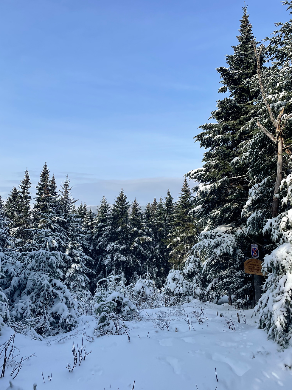
After seeing just about every woodland-creature footprint imaginable, we made it to the 10th Mountain Division Outlook, a memorial plaque by what used to be a great outlook, commemorating Dartmouth men who served in World War 2. The height of the land was just a few paces beyond the view, where the trail changed tremendously. Though the first portion of the trail was wide and switchbacked, this portion moved between large rocks and narrow tree spaces, making the lack of blazes more a notice than before. On one instance near downed trees, we had to refer to our GPS tracks, but otherwise, the latter half of the trail was entirely doable.
Once we rejoined the Asquam Ridge Trail, it was abundantly clear how wet this trail is, even in drier times. The snow was soaked through, the trail bare in places, and we were much more in tune stepping over streams than in the earlier part of our day.
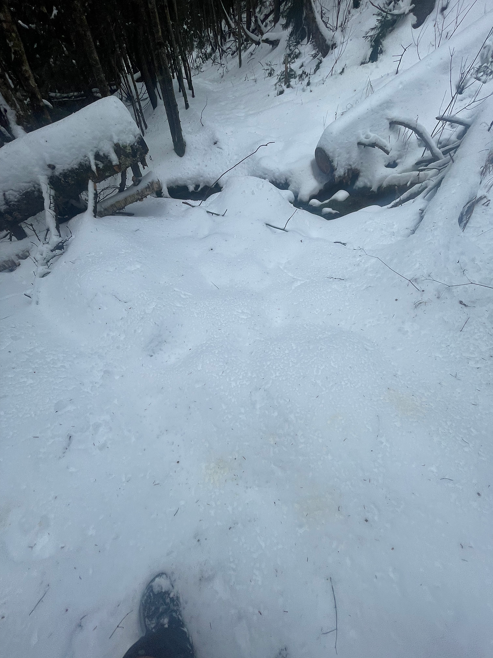
Regardless, because it is the Moosilauke Range and the DOC would hate to see an unbridged crossing, every significant overlap with the Baker River was well-outfitted with a 3-log wide wooden bridge.
On the way out, we made the newly educated decision to walk the road, which was significantly faster than before. Though we did not utilize microspikes for this hard-packed section, I see them as necessary in the coming days. Further, this area got significantly deeper as we ascended just 1000 feet, so it is, unfortunately, snowshoes on your person all the time season.
While this will be the last NH hike before finals, I look forward to touching some other tabs when I free up some time over break. In the meantime though, I'm happy to say I've hit 91% of this region!


Comments