Eastman & Ingalls, Cabot, Crow's Nest | 5/29/24
- Izzy Risitano
- May 29, 2024
- 4 min read


Tuesday 5/29/24 - Mt Eastman
Just as I was popping my hash browns into the air fryer at a rather late hour, I got a ring from my friend Lucas that he suddenly had a day off. I was all packed to go hit some small objectives in Evan’s Notch, but upon having a last-minute partner we pivoted to something I was less willing to do solo on account of remoteness.
Despite being an alpine starter before college, I didn’t get to REI for our carpool until 11:30 am, nor start the hike until about 12:15 pm. The ride in was pretty easy, despite early season forest roads after Town Hall Road turned to Slippery Brook Road. Do note that the gate is closed at Mountain Pond Loop, which has limited parking- however, there are several prior pull-offs on Slippery Brook Road.
The hike is more “road walk” than in the woods overall. To start, there is a 0.7-mile road walk to where the Slippery Brook trail gate is, then another official trail but still a road-esque stretch for 1.7 miles before entering the woods near the refreshing Slippery Brook itself.

Overall, this second stretch was pretty tame in vegetation and gained very kind and steadily. Once in the woods, there is a brief section that seems to have collected a bunch of runoffs and the accompanying leaves. Oddly, however, I couldn't seem to tell where this water would have come from other than snowmelt. There are also two large straddle-blowdowns in this low section of in-the-woods trail.
As a whole, Slippery Brook gains extremely steadily and was a bit wet since the plateaus restricted water flow towards the top. Nearing the junction with Eastman Mountain Trail, Slippery Brook is perfectly green and the woods are just open enough to let the breeze through. We also spotted a very enticing campsite up there as well.

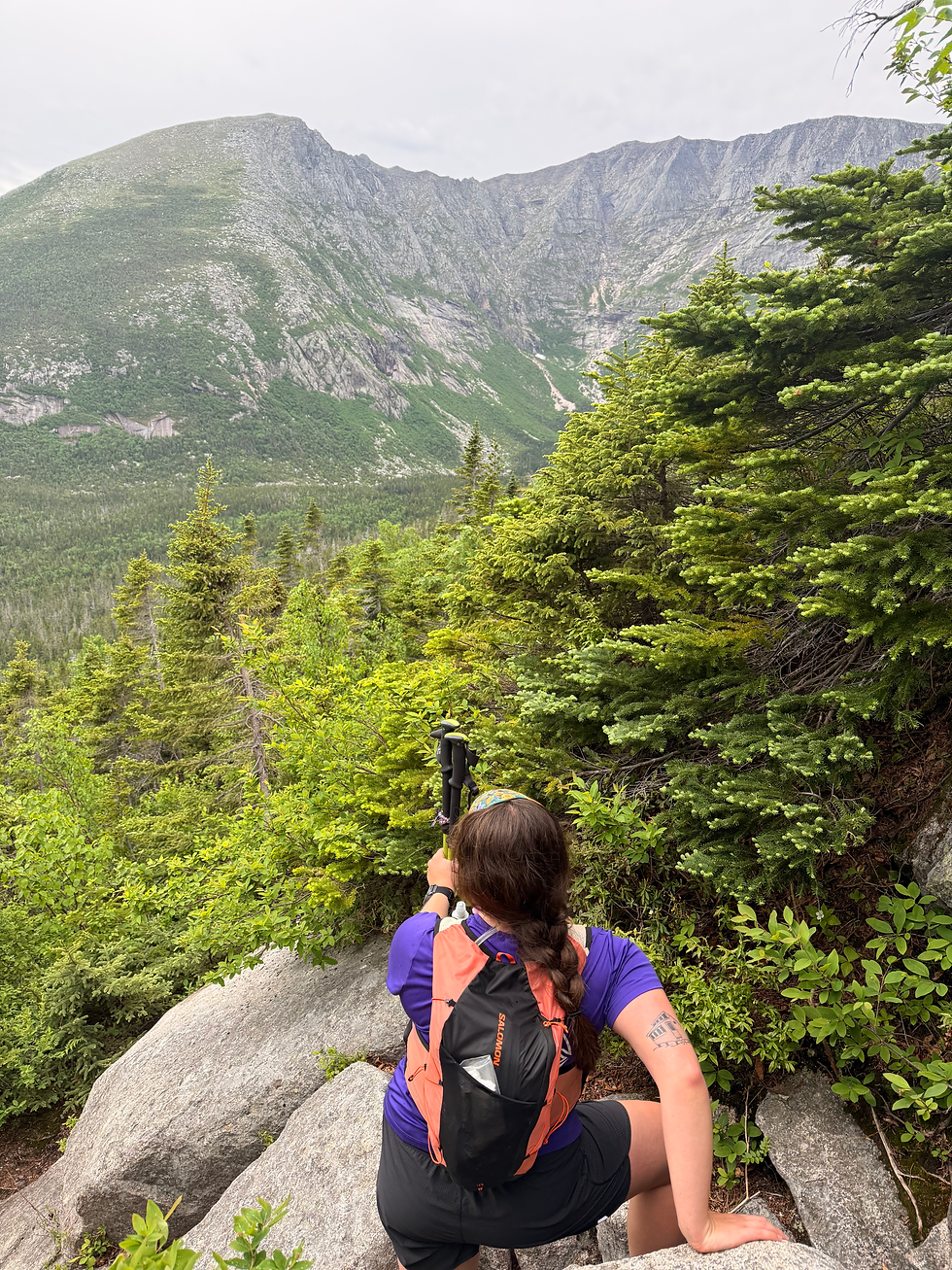
The last 0.8 to the summit was easily the most difficult part of the climb, as you can suddenly tell Eastman has the benchmark 200 feet of prominence. Still, certainly nothing technical or overly steep by any means. At the summit, we took in only partially restricted 360 views looking towards Chandler, Sabble, Wildcat D, the Carters, South Baldface, The Royces, Mount Kearsarge, and Kezar Lake. I must say, it was super cool to have picked out so many other mountains I’ve stood atop.

Coming down, we were amazed how fast we got back to the road-like part, and did some plastic trash removal around there as well. We surprisingly saw no wildlife but frogs on the road, despite plenty of scat to suggest activity.

By the time we were down, we were so hungry and done with bugs that we bailed on Mountain Pond Trail and headed back into town. Not too shabby for an afternoon start!
10.5 miles | 1,418 gain
Wednesday 5/29/24 - Mt. Ingalls, Mt. Cabot, Crow's Nest
Ever since I discovered a peak bearing Diane's last name, I knew we'd do it together. To take advantage of our final days before summer internships begin, we met up in Gorham this morning to conquer almost all the trails in the Mt. Ingalls area.
I made the uninformed decision to park at a pull-off near the cable car on Millbrook Road rather than the Mt. Crag trailhead which got us going straight away on the Yellow Trail after playing around on the cable car. The Yellow Trail was notably the only flat trail of the day and alternated between plain dirt and ankle-height grass. This corridor was fast and a perfect warmup for what was to come.


We got our first dose of steady gain upon the climb from Philbrook Farm Road to Crow's Nest, rising just under 500 feet over an alternation of a wide and narrowly wooded trail. The summit doesn't give way to too many views, except one to the Northeast from the north side of the loop. Though the pines were intriguing and the woods quiet, I'm not sure I would return to this tucked-away summit.
After descending the White Trail and rejoining the series of Cabot Trails, we ascended the Blue Trail for our second peak of the day. The trail initially passes through some logging swaths, generally well-signed, but certainly did not help the bugs. At day's close, I inhaled a total of 5 giant bugs while sucking wind uphill.
Come about 1,150 feet, the trail picked in intensity, requiring some bigger ledge steps around piles of dry leaves. I also ate another bug here. Once we got to the view spur, we took a brief snack break, where we got attacked by black flies, mosquitoes, and a giant tick, then carried on to Ingalls.
Before the final gain, we dropped into the col where Judson Pond Trail and the Scudder Trail came in. I decided to save the two for my next trip and we carried on. Though only going about another 1.4, we got to see lots of terrific views of the Wild River along the way. I was shocked such great ledge views didn't earn Ingalls a spot on 52WAV, especially as it isn't as prone to overgrowth as many of the listed peaks.
A bit beyond the summit is a much rougher path to a small pond loaded with even more bugs. We didn't dwell long anywhere atop Ingalls for this same reason and enjoyed a permanent downhill mode back down Scudder and finally down the Red Trail. The Red Trail was similar to the Blue Trail in its logged and unlogged characteristics plus a little bit more sidehill. This was admittedly killer on my tired ankles after forgetting my trekking poles in the car.


Once we got back to the junction, we repeated the flat part of the yellow trail back to the car and completed the day without seeing any people, moose, or bear- much to my surprise. Until next time, lower Mahoosuc peaks.

11 miles | 2,373 gain


Comments