Gordon Pond & Mt. Wolf | 7/28/24
- Izzy Risitano
- Jul 28, 2024
- 3 min read
There are a small handful of hikes I did not want to do without a car spot, but many of those are not easy sells to my hiking partners. For Liz, whose already hiked much of Kinsman Ridge in deep snow, I was certain my route from Wolf to 112 would not sell. While I was correct, her need for an early departure delivered a great compromise of a hike, where we both discovered sections we had yet to hike!

After dropping a car at the already bustling Beaver Brook trailhead, we carpooled to Sundance Road to begin Gordon Pond Trail. Before the first brook crossing at 1.4 miles, the trail mimics a town forest. It's wide, bike-friendly, and marked well. Walking at a fast, yet conversational pace eased my leg soreness and also woke me up. Up until we got on the trail, I genuinely doubted my willingness to hike a significant route, yet I am so glad I rose to the occasion.
When we got to the first crossing, which was easy but not a perfect rock hop, it was clear to see why this turned Liz around when she last attempted Gordon Pond Trail. With this being the least significant of the three crossings, it becomes easy to decide whether or not the others are doable based on the first. And last summer, of course, our weather was not friendly to the Gordon Pond Trail.

Beyond the crossing, we passed through a well-overgrown power line area, then transitioned to a dried-up stream bed. This sort of marked the last low and mellow section, as we began to rapidly ascend to Gordon Falls. The footing was fantastic, and it was fairly easy to pace ourselves based on the terrain. When we arrived at the more concerning crossing, I could immediately gather why this was not doable in high water. Two large, mossy rocks angle into right above where the waterfall pours down. Though you're not at risk of falling, the water was moving fast even in this drought. I hesitated for some time until I watched a man come barreling over it while holding a dog leash. It was extremely impressive!

The steeper grades persisted a little bit further after Gordon Falls, and once they eased we entered that typical moose-land, pre-pond wet trail. There were many areas of shoe-sucking mud and murky water, but it was well worth getting to the Pond. Though Gordon Pond Trail swings left at the pond to Kinsman Ridge, there is a spur path past a small campsite leading out to the pond. I enjoyed the large flat rock on the bank for an energizing snack while watching the oversized dragonflies buzz around. Liz and I parted ways here, as she had to be home mid-afternoon. While she headed back down Gordon Pond, I made my way right and left on the ridge.

My meandering ended as soon as I stepped onto Kinsman Ridge. Despite viewing Wolf not so far from Gordon Pond, I gained 911 feet over 1.4 miles up to my last GPS track on this mighty ridge. To my surprise, I enjoyed these little scrambles- albeit wet, I knew I had a great day for this ridge. The breeze was just right, the mud as dry as it gets, and I timed it great to run into a friendly AT bubble.

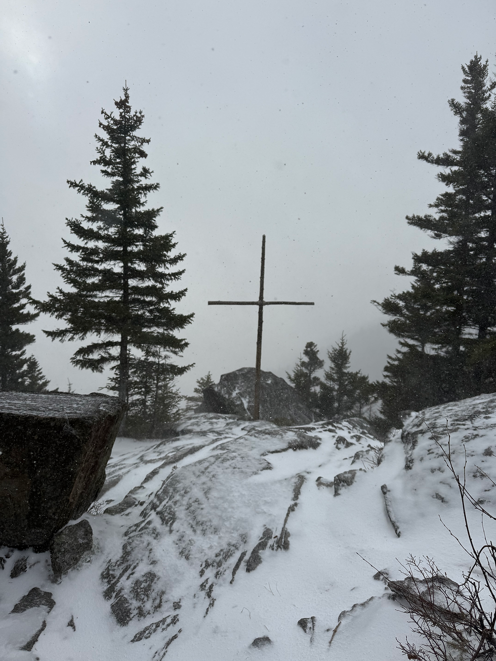
Wolf itself has a lackluster view, hence its decommissioning from the 52WAV list, but my best views of the day did not come until much later. Getting back to Gordon Pond was a bit faster, and then it was a whole lot of ups and downs to my car. The most sudden of them came ascending Blue Ridge, the final up before the massive descent to 112.

This last rise came over a boulder cropping, with a view of tree grab-and-steps to get over the large grades. When I finally began to descend, it was quite obvious as the rock stairs after Dilly Spur were full force. Though the knees were working overtime, I must admit the views of Blue & Jim were phenomenal. Dropping 630 feet in half a mile is no small feat, and the increasing noise of the cars met with more and more stairs built the anticipation of a completed hike!
The Gordon Pond aspect of the hike was the most exciting, especially how picturesque the pond was. All in all, this was a great way to knock off some more KRT miles- only one hike left until I've done it all!
Stats:
10.8 miles
+3,040 feet
-2,172 feet


Which section of Kinsman Ridge Trail do you still need - is it that very steep climb up the south side of South Kinsman? I've been a bit apprehensive about that section, and the section hiker I met on the trail yesterday who said it was the toughest section of the AT he'd done so far didn't help...