Greeley Ponds & Timber Camp
- Izzy Risitano
- Jan 16, 2025
- 3 min read

As Hannah and I pulled up to the Greeley Pond trailhead at 6:45 am, we were both lightly surprised it was still dark. While we got ready, the moonlight clashed with the first glimpse of the morning, illuminating the trail just enough to avoid headlamps.
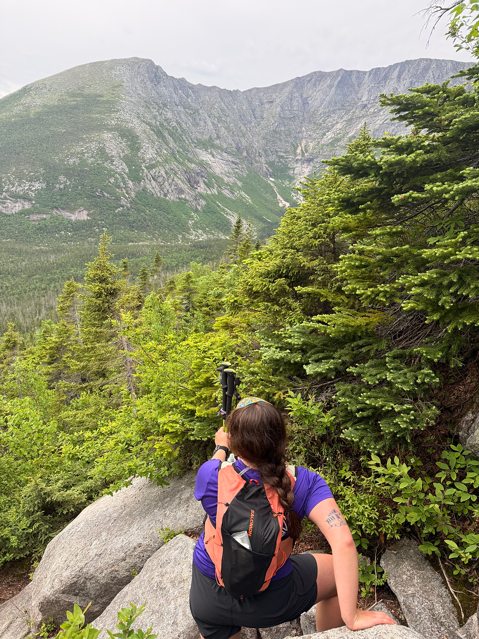
I last stepped foot on Greeley Pond trail from the south, when my parents joined me to hike Goodrich Rock and the southern portion of the trail in November 2023. Today, we ventured out for the longer second half including Upper & Lower Greeley Ponds with a trip to Timber Camp.

With low snow depth, we bare-booted without consequence from the start. As expected, we enjoyed the 4K highway until the intersection with Mount Osceola Trail, where nearly all the tracks verged right. Continuing towards the ponds, the footpath varied in pack as sudden absences of ski tracks and wind-blown snow slowed us down at times.
Arriving at Upper Greeley Pond at 1.5 miles gave us an artist's scene as the sky lit up the still-cloaked cliffs of Mount Kancamangus. Even in the brief time between Upper and Lower Pond, the sky changed ever so slightly, illuminating East Osceola perfectly above the trees.

As we crossed alongside Lower Greeley Pond, we had to backtrack slightly as the blazes were a bit absent where we had to cross what looked like the lake. Knowing this is very much a water body in the summer, I assumed that this would ordinarily be more obvious due to bog bridges. I did check the guidebook for confirmation, but there is no mention of such at the "southwest corner" of Lower Greeley Pond.


Beyond the ponds, we had a few sudden ups and downs along a wider path, until the Mad River Bridge where we climbed steadily until Timber Camp Trail. When we turned right on Timber Camp, I was excited to see footsteps but soon realized they had been wind-loaded over. While it was at first a bit sour going up to Timber Camp, knowing it's the sort of trail that "just ends," I was ultimately pleased with it. As we approached the gravel bank- well covered with snow today, we had vast 180 views of neighboring mountains.
From the top of the mound, which we hit on the way back, one can look north to Scaur Peak & Tripyramids- easy to spot due to N. Tripyramid Slide, back over to the K1 and K2 cliffs of Kancamangus on the left, and west to the Osceolas. This was undoubtedly the best view I have had of the Osceolas- for an unremarkable summit, East Osceola has a remarkable backside. There's a joke there, but I'll let you make your own celebrity insult.
Past the mound, the trail continues a bit further to the high camp. Once we reached the mostly grown-in clearing, I verified we'd reached the end and we made a quick transition back down. This had once been a logging camp, but even in modest snow coverage, it was not evident beyond the name and heap of gravel.
On our way back, we had a slidey way down the bank to cross the Mad River by the Greeley Ponds ski trail, but otherwise a very uneventful hike to the car!
In our final mile, we had a quick dog party with a precious samoyed and Hannah's dog, Moby Grape. What a perfect way to end the morning!
Stats:
8.55 miles
1,282 gain


Hi, I enjoyed your write up. My question is what kind of dog is Moby and does s/he have issues with snow balling on the fur?