Lone Oak, Blueberry Mtn, Wachipauka Pond | 11/17/23
- Izzy Risitano
- Nov 17, 2023
- 4 min read
For the first time in recent history, my drive home from school and a pleasant weather window landed on the same day. With a high of 55 and mostly sunny skies, I said no to a Thursday night out and proper goodbyes to my friends in favor of some Moosilauke tab tracing. Call it lame, but I haven’t had nearly enough White Mountain Guide lately!
I began my day driving from Saint Mike’s down to Woodsville, NH, a town I’d been through several times but never realized homed the Lone Oak Trail- one of the far-west trails of the guide. This 0.8-mile trail has loomed over me as an “add-on” for over a year and I was happy to finally get to it. In less than a mile, this out-and-back gains 706 feet and tops out to a stunning overlook of Woodsville straight out of a Hallmark Movie. The trail itself was well kept, had plenty of stone steps, and was only at times treacherous with dry leaves underfoot. The venture took me less than an hour and is something I’d do again passing through- I think this would be especially beautiful with snow adding to the New England scene at the top!


Continuing to follow the note sheet of trails I’d written for myself while zoning out in World Religions earlier that week, I drove south to Benton for the north trailhead of Blueberry Mountain. I remembered this area well from when I did a full traverse of Black Mountain and drove to the wrong side of the car spot and then had to find my way without GPS last summer- but there were no troubles of the like today. The trail at first starts up old Blueberry Mountain Road, a wide footpath, before meandering through a somewhat recently cut low slope of the mountain. Along the way, there were several stone walls and some metal artifacts, but otherwise nothing too diverse. By the time legitimate gain started, I could see some loose granular snow out in the woods, but there wasn’t any on the trail until I broke treeline.

By about 2200 feet, I entered the spruce line and enjoyed the change in smell and lack of dried leaves to slip on. This corridor was brief and soon landed on the low-sloped ledges on the way to the summit. Coming up this side of the mountain felt nearly identical to the other side, which I also did alone in a shoulder season, back in March 2022. The ice didn’t present any problems, but some of the mud pits were a bit harder to avoid, splashing up on me once or twice. I think I lucked out with mild temps though… so certainly pack up those rock spikes going forward!


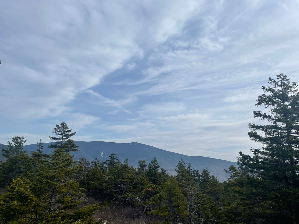
At the view/summit spur, I enjoyed views of the lightly dusted Moosilauke but didn’t linger long as the breeze began to pick up on my bare arms. I got down quickly, despite the abundance of death-trap leaves, and kept on to my next mission: Wachipauka Pond Trail.
When I arrived at the pull-off on Route 25, it was just after 1, and I wasn’t sure how much gas I had left in the tank. I decided I’d still attempt, and whether I made it up Wyatt Hill, to the Pond, To Webster Slide Mountain, or Mount Mist- it was something. The trail is initially flat, but quickly ticks up as one gains some 600 feet up Wyatt Hill. This was my first “normal day” after ten days of back-to-back strep and cold, I was already fatigued, so this wasn’t easy. Thankfully, the top of the oh-so-leafy Wyatt Hill has a nice plateau with restricted views of Webster Slide Mountain. Not so fortunately though, as I looked up at the mountain I realized it just wasn’t a practical objective given my body and the daylight left.


As I got closer to the pond, parts of the trail got a bit more wet and there were bog bridges in all the appropriate places. Just before the AT junction with the pond and Webster Slide spur, the woods took on a rich moss that I quite enjoyed. By the junction, I opted to only trip to the pond, which was just beautiful. There was a nice flat spot (do what you will with this…) right by the water along with a makeshift bench that I enjoyed for some time.
Upon my turn around, I was immediately thankful I didn’t push it too far, as I was physically done. I even had to stop for a Rice Krispy Treat before I could persevere through.
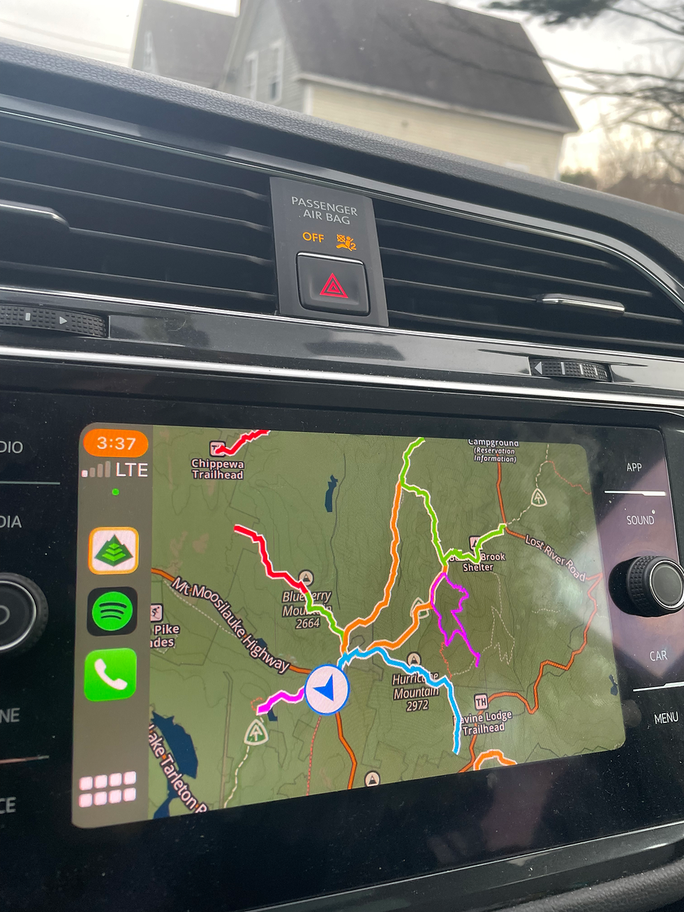
Coming down the steep sections was rather difficult in the fresh leaves, but the poles were certainly a huge help. Back at the car, I proudly looked at Gaia on my car display to see all my Moosilauke-tab lines in all of the default colors. Only a few left, the finished tab coming soon!

Stats:
Lone Oak Trail: 1.9 miles, 704 gain
N. Blueberry Mountain: 5.38 miles, 1,410 gain
Wachipauka Pond: 4.99 miles, 1,124 gain


Comments