Mt. Shaw & Blacksnout | 7/31/23
- Izzy Risitano
- Aug 3, 2023
- 2 min read
Though I don’t even keep track of my 52 With a View stats, I knew enough to recognize I only had one peak that isn’t hit by tracing, Mount Shaw!

Weeks ago, my dad and I had cleared this past Monday to hike together, initially hoping for Lafayette but getting thundered out. Soon, the once-perfect forecast turned into storms within just about every notch, pushing us south of the White Mountains. While I’d yet to complete my yearly Monadnock, Dad had done it a couple dozen times and I wanted to bring him somewhere different.
Starting Route 171, we walked up the grassy access road towards the Mount Shaw Trail, a curious area that seemed to have a lot of history. The beginning of the trail travels along what was undoubtedly an old road, then follow an old pipe for a long time, and eventually passes a tiny pump house with a rusted roof. I had guessed these remnants relate to property access from back in the day, but am not sure! Much of the early trails follow an offshoot of the Melvin River, loaded with deep swimming holes and small cascades, I was pleasantly surprised!

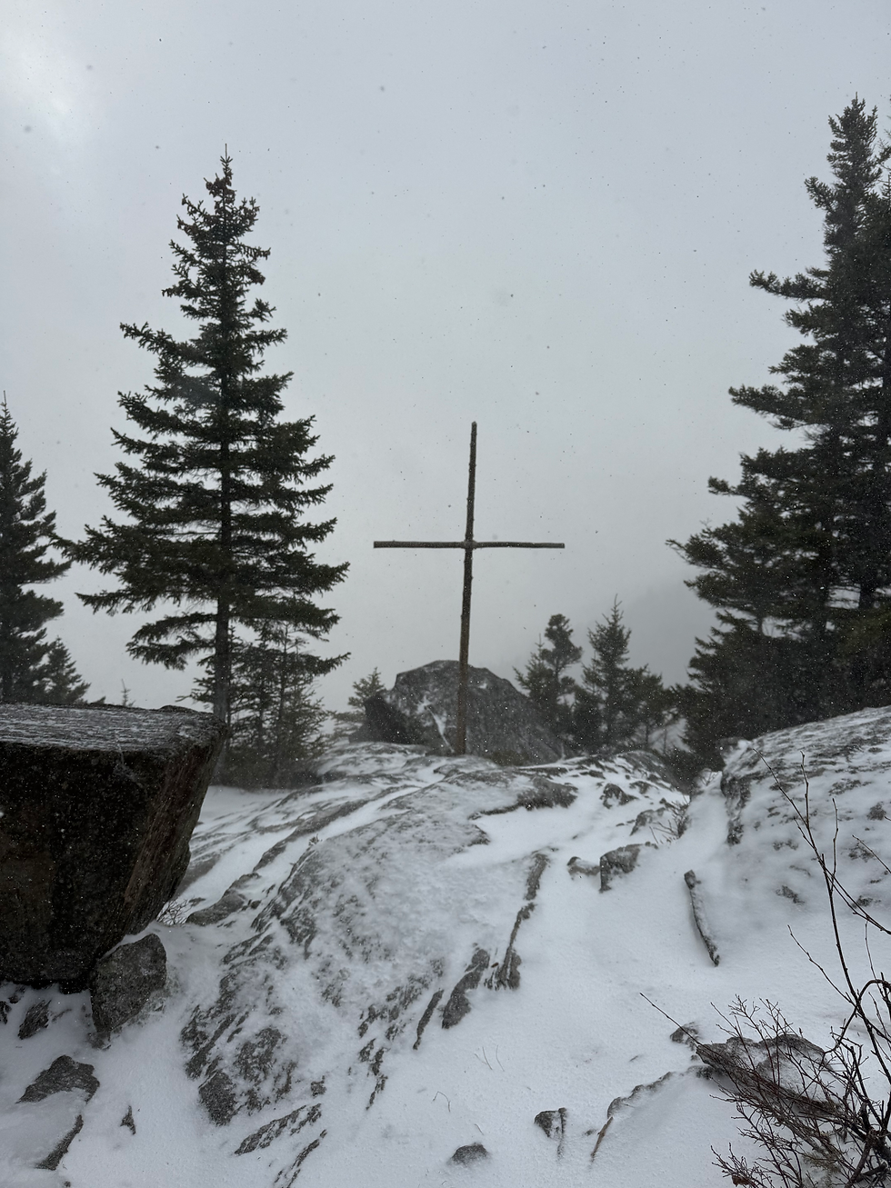
At times, the trail was a bit cumbersome to follow- evidence of poor water management riddled the trail and its frequent erosion. This kept up until the last water crossing, at roughly 1400 feet. From here, hikers can expect an in-your-face 1200-foot climb to the Black Snout Trail. This climb had good footing but was slightly overgrown- making it hard to see your feet at times. Luckily, by the time we’d gotten to Black Snout Trail, we only had another 300 feet to gain over a mile to the summit of Mount Shaw at 2989 feet. The most notable feature of our view was the bold cliffs of White Face and the sharp cone of Chocorua. We enjoyed summer sausage, 5-month asiago, almond crackers, and dried mango before packing up for Black Snout.


Black Snout was just a quick jaunt away and had completely different views. Looking south, Winnipesaukee took over most of the view, flanked by Gunstock and Mt. Belknap in the background- easy to spot for trails and a fire tower.

Though our Italian selves had wanted to descend via the Italian Trail, it was clear no one had traveled that way in a long time- so we opted for the familiar and doubled back to Mount Shaw. Crazy what I WON’T do when the trace isn’t involved!

Coming down Mt. Shaw trail was much faster than the climb and opening my stride for the last two miles of flat was incredible. As we passed by the same cascades along the stream, we met two women enjoying them which made me beyond jealous. Adding this one to my return list!
Hope this short read was enough to convince folks to get out to the Ossipee Mountains.
Final Stats:
8.36 miles
2,323 gain


Comments