The Sisters via Carter Ledge & Middle Sister | 5/12/23
- Izzy Risitano
- May 12, 2023
- 3 min read
Still trying to avoid snow, the Albany area packed 4K-status elevation gain, without passing 3400 feet. Needing nearly every trail on the East side, I started with the one that made the T25 list to reawaken some good ole’ hiking adrenaline. From White Ledge Campground, Liz and I made for a view-packed loop of Carter Ledge and the Middle Sister Trail.

We were surprised to find the campground gates open this morning and made our way to one of the few designated hiker spots. The signed hiker lot looks like it would ordinarily have room for 3 cars, but today there was just room for one as the cleared-out brush was taking up the other two spots.
Carter Ledge Trail begins with a gradual incline through open woods, which ramped up a bit after the junction with Middle Sister Trail at 1 mile. The trail remained relatively dry and uneventful for a bit past the next intersection with Nickerson Ledge. The first hint at “Terrifying” came from a small section that begins with some eroded switchbacks followed by some ledges that didn’t need more than a quick foot up at hip height to maneuver.


Yet, beyond this short section, the trail gained up a beautiful rock face at a moderate grade which made it very easy to look at Chocorua to my left instead of my footing. Despite the rain earlier in the morning, the rocks remained almost entirely dry! We eventually worked into a Yankee-Candle-smelling jack pine grove which was just stunning. Even if I had not read about this pine’s one-in-three rarity in the White Mountains, I was sure they were unlike anything else I’d seen.


After the lovely jack pines, the trail had one more punch to give with some loose rock, a couple of steep moves, and then one big ledge-maneuver that required hands, knees, and belief. Not so bad once I finally trusted my left foot to take a big stand with the right. I would not have made this work when damp or on a descent.


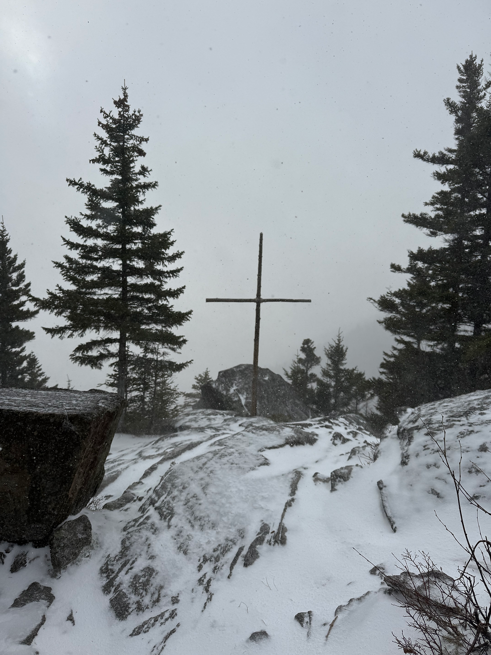
From here, the summit was in sight and we traveled less than half a mile to the ruins atop Middle Sister. I had stood here less than a year ago, yet noticed so much more this time. The Moats I’d done in November, the point of Vose Spur that lingers on my Hundred Highest list, and the canvas that is Sundown Ledge all immediately stood out today.


Once my shirt and pack had dried out, Liz and I descended via Middle Sister and I was glad to have my poles. The beginning part of the trail, which I had incorrectly assumed would be a ridge, was wet, mossy, and a bit steep. When this dissipated, we entered the clear storm path and the land of blowdowns. The magic of Google told me this ended up so bare due to a wind storm in the eighties. I threw a dozen pieces of tree debris off the trail but only put a tiny dent into the trail maintenance the upper parts of the trail needed. In addition to the smaller blowdowns, there were some recent tree falls that'll need mightier tools. Out of the storm path, we walked down a dry stream bed for a little bit before getting back on track with level footing. Still some blowdowns down low, but nothing major. However, the trail remained well-marked throughout making these brush-heavy spots easy to navigate.

Today clocked in at:
8.41 miles
2,551 elevation gain
0 critters


Here's a link to the structure that used to be on Middle Sister.
http://www.firelookout.org/lookouts/nh/middlesister.htm