
Whiteface via Tom Wiggins & McCrillis Trail | 8/16/2026

With Liz working on the Waterville Valley redline and me, of course, in for the long-haul trace, we’d marked off time weeks ago to hike a remaining piece of the feat.
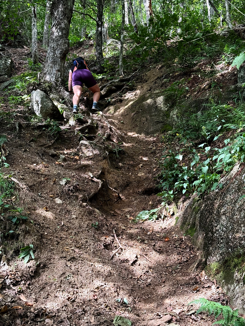
Tom Wiggins Trail, one of the 3 trails in NH I can think of with an “are you sure?” warning, evokes curiosity with a side of fear. Having a distaste for a loose trail more than any other obstacle, a sign reading “Not recommended, steep and loose,” wasn't welcoming. As we got into it, I realized it’s in “bad shape” by WODC standards- not overarching New Hampshire standards. Very different benchmarks!
With a slow, familiar-to-Dicey-Mills start, Tom Wiggins was quite beautiful and remote-feeling. As we neared the cliffy shelf, the trail switchbacks through loose sand, as promised. Still, there were enough cemented rocks and roots to make for decent three-point-of-contact climbing.
After a brief stretch of loose switchbacks, the trail regained reliable footing for the remainder of the steeps before evening out to meet Blueberry Ledge.

With seemingly little mileage to go on the map, but still considerable elevation, we faced Blueberry Ledge for the first time in half a decade. Although it makes sense I forgot- because that was a rather dramatic day in my hiking career- I had no memory of the ledges being as fun as they were.


Past the ledges, we made the less eventful push to the summit where we answered a second “is this the ___” / “where do I go for___”, question of the day. This would oddly go on with each group we crossed paths with through the day.
From the summit, we did an extremely reluctant but later enjoyed chad-grab of Kate Sleeper from Rollins to Downes Brook. The trail has some impressive water bars in place, and was overall a very peaceful out-and-back.

Back on Rollins, we directed yet another group to the summit before plunging down Whiteface’s McCrillis ledges. We knew the ledges were a strict don’t hike when wet, but still were surprised to see just how steep some of them were- really not too much mellower than Blueberry Ledge.
After the ledges, I foolishly thought the bulk of the elevation gain was over. But as we were still pitched more than half a mile from the top, I thought something must’ve been wrong with me!
Keeping to the question frenzy, everyone we passed asked how far to the summit. This time, I couldn’t blame them- I was going down wondering how this was still going on so steep!

When the elevation settled around 1800 feet, it was a great relief to open up the stride and take it down a bit faster to the car. There is still a fairly decent stretch left after the river crossing to Flat Mountain Pond Trail, a repeat for Liz and me, albeit a pleasant section.
At day’s end, we stopped at Papa Beans, some of the best ice cream in New Hampshire if you ask me, and headed our separate ways. After so long talking about this route, it felt great to mark it off!
Final Stats:
10.26 miles
4380 gain


Comments