
North Brother, Fort, and Hamlin | 6/14/2026

In many cases, the third time really is the charm. Having initially been drawn to Baxter State Park to knock off the Hundred Highest peaks, I’ve returned more eager to explore the low valleys and deep alpine lakes of the region over my last few visits.
For the Summer 2026 trip, I took the same approach as the year prior. Book some dates around my birthday without asking who can go, knowing it’d be a great time regardless. In this “early” June season, I found that not only were the bugs a horror, unlike the week later we’d gone in 2025, but also that the campsite reservations were far sparser even 3 months prior. Despite this, I still nabbed a great site at Katahdin Stream that was at least close to one of the objectives, a return to Mount Fort.
When the long-anticipated trip came around, I had lumped together a motley crew of my friends and boyfriend (none of whom had met prior) to spend 4 days in the woods. Just like summer camp! While Liz, Willow, and I got up Friday night to wait out some drunken rainstorms, the others trickled in throughout the weekend to join in on the fun. Compared to other campsites I’d had in the park, Katahdin Stream was the least enticing due to location and flood risk, but still a lovely spot in terms of low crowds and decent-sized sites.
On that first night, after waiting out rain storms with an unmeasured whiskey pour, we decided to take a walk to grassy and elbow ponds across the street. Even though the multiple inches of rain had brought the clouds in, the ceiling was high enough to make for incredible views of the Cross Range and Katahdin Ridge. Thankfully, my liquid supplementation made for a mental bug spray, and I was so taken by the views that I did not realize I was being torn to shreds by mosquitoes and black flies. Regardless, this hike was amazing for a small venture. The perfectly built bog bridges traversed pools of water without a budge in the wood’s integrity, and the forest was remarkable after its proper soak an hour prior. If it’d been less buggy, I would’ve spent all evening out here.


Once we got back to camp, more of the group arrived, and we schemed Saturday’s North Brother & Fort hike. If any ~loyal readers~ recall, last year Dave, Liz, and I attempted to hit the Brothers, Coe, and Fort on one crazy rain-stormed hike. Due to brewing hypothermia on North Brother, though, we had to turn around. I was bummed- Fort was one of the only mountains I had left that had been hyped to the point of fear for me. And giving up on North Brother had felt like defeat in some ways- despite its absolute necessity given the weather.
As soon as we got to the Marston Trail parking lot, with the same Trader Joe’s muffin in hand as 51 weeks ago, I got some serious déjà vu. The Marston trail is beautifully done, but strikingly steep up to the first trail junction. Going up felt exactly like the disappointment of coming back down last year- but I didn’t let on too much. As we got higher up, making steady but great time, the skies looked just the same. Completely and totally socked in a humid haze. Pushing on, and at least not soaked or chilled this time, we made it up the stream-covered final mile of North Brother with optimism high and celebrated the “hard part” done at the top of North Brother.

Although I could not see Fort or the way over there, I was still feeling determined even as Liz decided to stay back to save her legs. Liz is typically my bushwhacking guardian angel, but I felt I’d studied up well enough to lead my never-schwacked friends over the mile of high-alpine krumultz on my own. Regardless, I didn’t have a choice.
As we started to slink off the summit, I was surprised to see a cairn and then another cairn and then another? Wasn’t this supposed to be the peak everyone leaves for last?
Entering the spruce, I half-expected to see pink flagging. Thankfully, I did not. But I did see a wonderful and obvious path that continued nearly the entire way. By the time we reached the base of the North Brother and Fort Col, the clouds started to lift. Seeing Fort ahead drove the excitement further until we eventually came upon the most incredible 360-degree views. Frankly, I would’ve felt like an ass if I’d dragged the girls over here for no view. But I’d be lying if I said I thought we’d have one.


From the summit of Fort, I was eager to identify every single peak in view. From the rugged Travelers to the North, Russel Pond far down below, and most notably the enormous Northwest Basin of Hamlin to the southeast, I was dazzled. In looking back from my Gaia to the view, I took some pride in how much of this massive park I’ve travelled in just 3 visits. Yet, the view was a wonderful reminder that I am a long way from being fully explored.
Before heading back to North Brother, where we could see Liz standing on top still, we checked out some of the plane remains and then got carried away by the bugs through the bushwhack. And while I made quite the point to downplay it, do not, it is still a bushwhack. There are no markings, and there are lots of downed trees. However, if you’ve done your time bushwhacking non-herds for fun or have done the Dry River Cutoff in NH—know it is far better than either of those two scenarios.
The way back over was challenging, in that I was wearing shorts and the cuts were now combining with black fly bites. In fact, one of my bites was so bad that I had to wear 5 different hydrocolloid patches over 3 days to be able to wear my fitness watch again. The bug situation was NO JOKE.

When we got back to camp, we were exhausted but proud. The group wasted no time getting into bed and away from the bugs before the sun went down—after all, we had a huge morning ahead of us.
Setting out bright-eyed and bushy-tailed before 5 am, we were determined to get past the Tongue Pond gate before it opened to day hikers who’d surely take all the spots at Roaring Brook, where we met up with Joe and Tauscher. Liz and I had pre-decided we’d climb her objective for the trip, Hamlin, via Hamlin Ridge because it's by far the tamest way up. With rolling thunderstorms, it hardly felt like it, yet I must admit I didn’t experience any of the peril Abol brought me from this one.

From Roaring Brook, we coasted on a mellow start alongside Roaring Brook for about a mile before making our way to exceptional views around the Basin Ponds. As soon as we passed our last group heading out of Chimney Pond for the morning, the intensity really picked up, and so did the clouds overhead. Still, we continued knowing that once we got above treeline, we were accepting whatever fate was to come next.
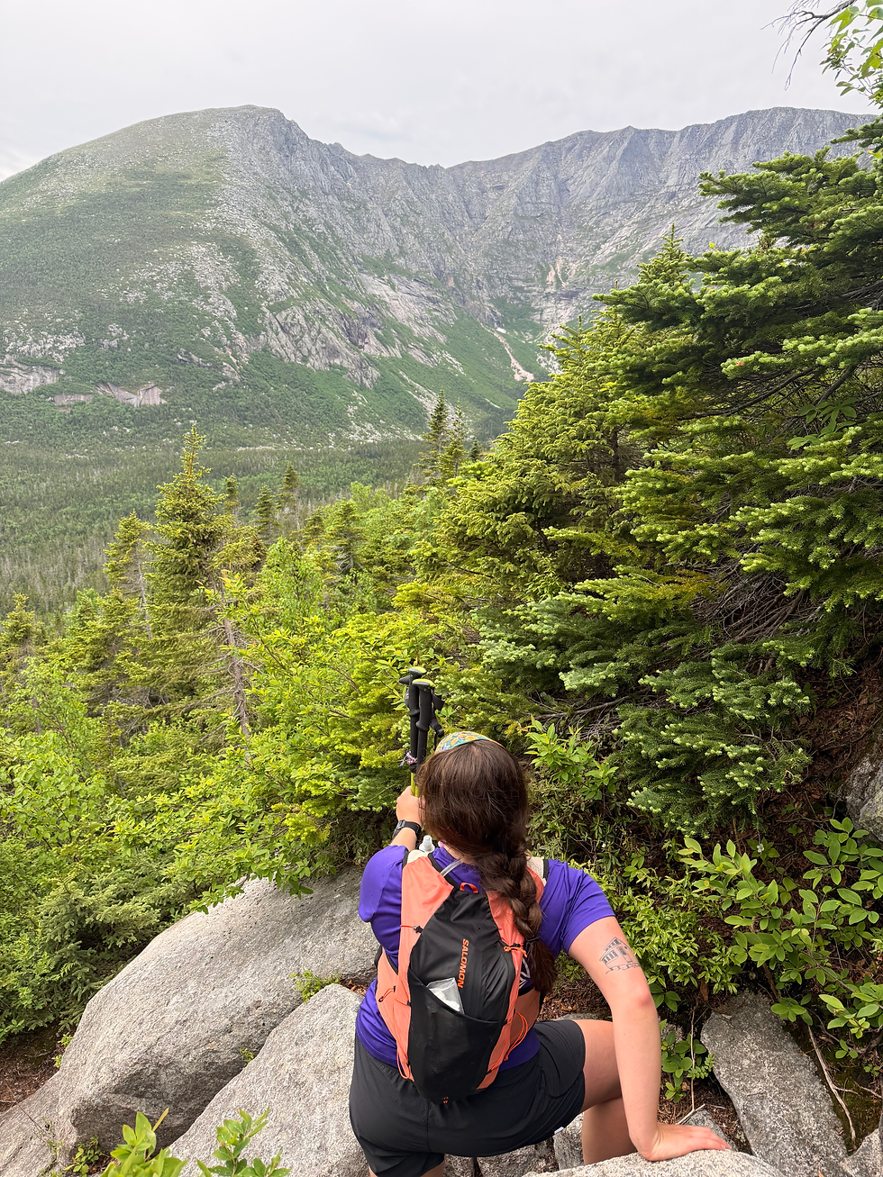
Hamlin Ridge is a beauty of a ridge and an even more beautiful trail. Despite a legit scramble or two, each of the boulder problems was fun to solve and relatively low risk in my opinion. We worked pretty quickly up the ridge to miss the storms, getting some dramatic yet beautiful views of Knife Edge on the way up. There were several false summits as well, each coming with the next view of what was to come. In many ways, it felt like a 5K where you could see the finish for a mile.

At the end of the last push, the table lands came as a refresher. The top is almost hard to discern because it’s so flat after such a remarkable climb. Ironically, the top became the only part of our day that was windy and socked in, prompting us to quickly get out of dodge.
As we came back down towards the treeline, the weather kind of did the opposite of what we anticipated and cleared up entirely by the time we got to the last full viewpoint of the ridge. Go figure!


While the hike was certainly no one's longest day, the fatigue really set in during the last mile and a half. We were all puzzled at the time, but upon reviewing, we’d gained 2000 feet in about a mile; it was a bit less confusing.
On the way out, my group made our way right to dinner, where we lazily did the most basic of tasks before slouching into our damp camp chairs. I don’t quite remember when we got up, but it must’ve been early enough as we yet again landed in bed before sundown.
This Baxter trip was special because I again got to see more first-timer experiences. It was also a huge sigh of relief that I finally finished my “list” in the park. Now, I’m looking forward to booking deep backcountry trips to places only a handful of people can say they’ve ever been to. Maybe I’ll write about it; maybe I won’t!

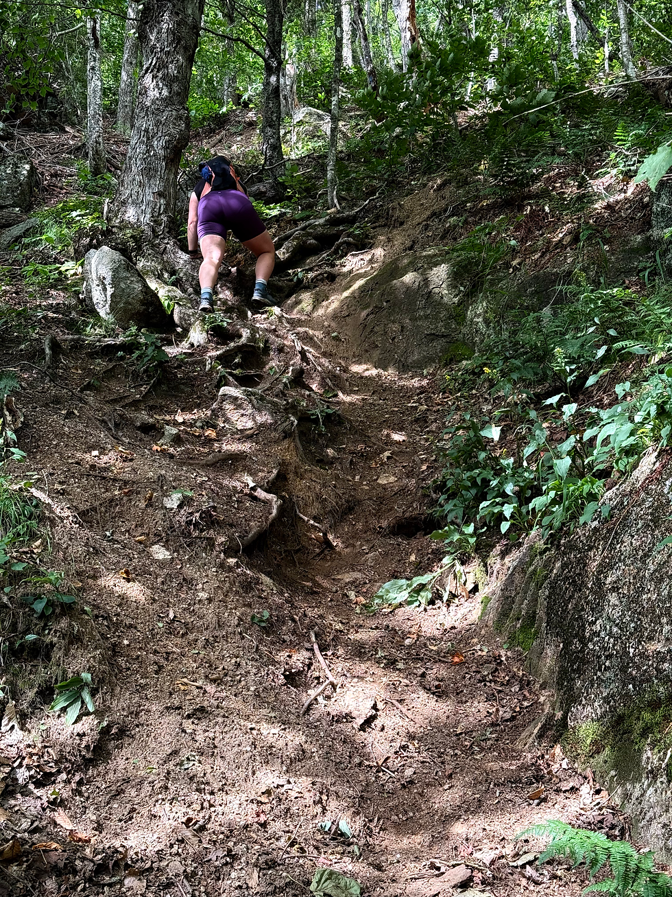

As someone who's hiked it twice, Dry River Cutoff isn't that bad!
;)