
The Crippies, Parker & Resolution | 7/25/2026

Some routes are just impossible to explain to the occasional hiker. Not only was this one of them, but it was also one that I’d had sitting in my notes app for years of anticipation.
A loop made by Mt. Stanton Trail, Mt. Parker Trail, Davis Path, Stairs Col, and Rocky Branch makes for a quiet but mighty 20-mile loop.
Mt. Stanton Trail starts from the Coveted Bridge neighborhood, where there is very little room to park on the side of the road. Because I was first there, I was able to snag a roomy spot just past the no parking zone- I can’t imagine this is much of an issue though, as it’s a very impractical route for a 52WAV hiker.

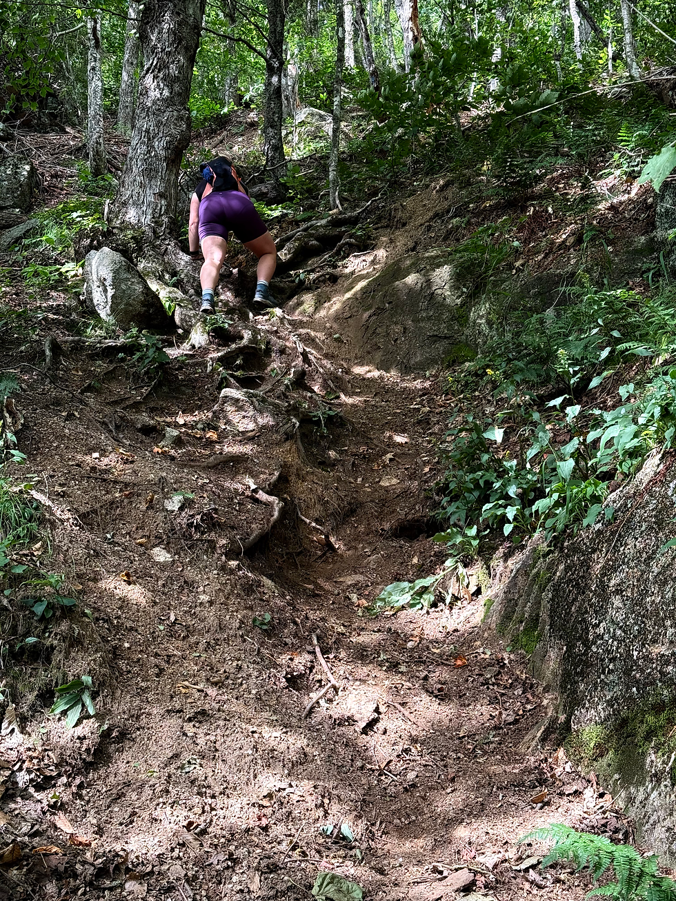
As I started up Whites Ledges to Mount Stanton, I was truly shocked how steep it was, gaining some 800 feet in the first mile. That said, the first set of familiar southerly views was fantastic. Onward, I immediately noticed the glaring similarity to another trail I’d done. Lightly used yet easy to follow, sandy erosion here and there, rolling elevation, an eventual 52 with a view…

I didn’t need to look further than across the street to realize it was exactly a mirror of the Attitash Trail- in characteristics and literally being on the opposite side of 302.
As I got closer to the Mount Langdon Trail junction, I wasn't surprised to see that the shelter present on the map no longer stands, but that the trail just passes through the camp area. I can’t imagine folks would hike this late at night, but if they did, it would be a tripwire disaster with the tent stakes.
Soon enough, I was climbing to Mount Parker, where I saw my first passerby of the day 7 miles in. As I crested the deceptively steep summit, she assured me I was almost there. On the contrary, I thought! But the relief in my downhill approach still came over me after 4000 feet of gain by 11:30.
I shared the summit of Parker with a couple briefly, struggling to get down the one piece of solid food I mustered in the day, and headed right off to Resolution. I was incredibly surprised to find the most beautiful trails along the way, open and letting the sun pass through just right.
Even as I passed into the wilderness boundary, uniquely a metal stake and not the usual darling sign, the trail's character didn’t change a bit.
While I wouldn’t choose to redo anything I’d done up until that point, I’d redo this section over and over. After 3 grueling months of training for my ultra, I must admit some of the passion has worn off. But in that moment approaching Resolution, my purpose for being out here came back in an instant.
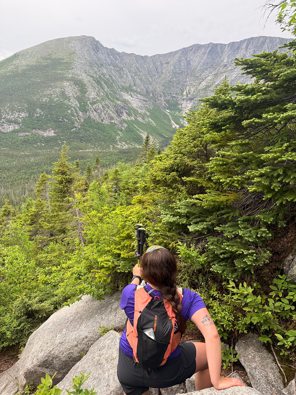
Once I got to Resolution, I was completely dazed by how much I could see. Carrigan towers like a volcano right ahead, Washington clear as ever, and the dramatic slides of Willey up in the Notch command attention. I totally lost track of time up there. Certainly looking forward to doing that one again!

Coming off of Resolution had some eroded steeps, but otherwise I was over to Stairs Col quickly, where I felt the wilderness I’d yet to witness today.

While the top was rugged and well grown, I was solely focused on getting through as quickly and safely as possible, having just run out of water. While Stairs Col isn’t very runnable at the top, it was MUCH better than I expected given how far back in the wilderness it is. Even the moss-covered rocks showed little signs of wear as I dug my treads into them on the descent. I was long waiting for the trail to level out, as promised by Greg's trail report some time ago, and eventually it did! Not exactly runnable, but more apt to a swift walk than the early sections.

At the base of the Col, I dashed to the river to filter water. In doing so, I interrupted a mountain biking pair enjoying a picnic, but I was just too thirsty to leave them to their accessible spot on the river.

After 12 minutes of filtering and mixxing up Tailwind, I got going on Rocky Branch, which was just a delight for more reasons than one. First, I could finally run again. Second, I’ve been reading Bill Gove’s book about JE Henry’s Logging Railroads, and I was noticing aspects of the grade, artifacts, and reroutes like never before. Nothing like applicable history!
As I finally got to the washed-out bridge at the start, I could see why it is such a problem in other seasons thanks to the large crossing with few safe rocks, but had no trouble getting over due to its dry July state.
On the other side, I dealt with brutal blisters descending the long Jericho Road and the following 3 miles of paved road before getting back to my car. While annoying, I'm glad they were so bad so that I could address it before next weekend's 20 miles.
As I fought through the afternoon sun, aching legs, and an annoying slosh-slosh-slosh of my running vest, I was thrilled to have completed the loop in a very optimistic amount of time as relates to finishing my race in the coming weeks.
Even if that doesn’t go as planned, it will have been worth it to finally gain the inspiration to go out and conquer this loop!
Stats: 20.06 mles
5,203 gain

OMG, you read my report from last year about Stairs Col Trail! I'm glad you enjoyed it, and that it's not just me for whom it was better than expected. Good luck on your upcoming race!